Cof Cymru: National Historic Assets of Wales · Wales
Siop Llangian
Llanengan, Gwynedd, Wales
A Grade II listed building in Llangian, Pwllheli, Llanengan, Gwynedd, designated on 19 October 1971.
The record
- Designation
- Listed building, Grade II
- Broad class
- Commercial
- Date of designation
- 19 October 1971
- Locality
- Llangian
- Town
- Pwllheli
- Community
- Llanengan
- Unitary authority
- Gwynedd
- Country
- Wales
- Coordinates
- 52.83085, -4.53202
- Cadw reference
- 4311
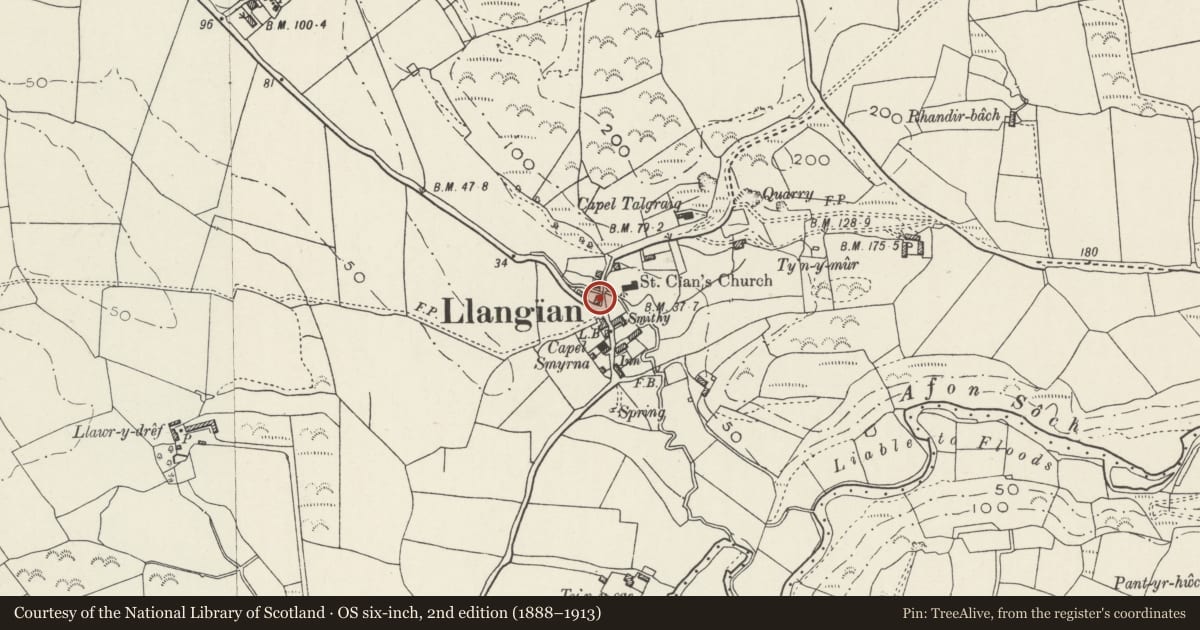
Slide toward Today to fade the historical sheet and see the modern map underneath.
David Rumsey Map Collection, Stanford LibrariesDavid Rumsey Map Collection, Stanford LibrariesDavid Rumsey Map Collection, Stanford LibrariesDavid Rumsey Map Collection, Stanford LibrariesDavid Rumsey Map Collection, Stanford Libraries
5 historical maps cover this location, the earliest the 1608 map "(13) Cambriae Typus." (David Rumsey Map Collection, Stanford Libraries).
Historical maps covering this location
- 1608 · (13) Cambriae Typus. (David Rumsey Map Collection, Stanford Libraries)
- 1830 · V.3:11-15:XV. Britisches Reich. A. Kon: England. b. Frstenthum Wales: Shire: 37-40 (David Rumsey Map Collection, Stanford Libraries)
- 1883 · Watershed map England, Wales 3. (David Rumsey Map Collection, Stanford Libraries)
- 1899 · 134 Pwllheli (Hills) (David Rumsey Map Collection, Stanford Libraries)
- 1901 · Sheet 9 and 10. (David Rumsey Map Collection, Stanford Libraries)
Cadw's description
Location
Situated in centre of Llangian on corner of road to Botwnnog.
History
Mid C19 house and shop, identified as Shop Llangian on a gravestone of 1849 in Llanengan churchyard of a child of Henry Jones 1811-92 and Mary Jones 1809-82.
Exterior
House, formerly with integral shop, shop now in added rear lean-to. Rubble stone with slate close-eaved roof and stone end stacks. Two-storey, 3-window range of 4-pane horned sashes and centre C20 glazed door (former door had overlight). Slate sills, stone slab lintels. SE corner is splayed with former shop door now blocked, also with slab lintel. S end has small window each floor to left, larger 4-pane sash to ground floor right. N end has small single storey outbuilding with N end stack, C20 window and 4-pane sash.
Earlier C20 lean-to shop on rear, pebbledashed, with S end door and shop window.
Reason for designation
Included for group value with other listed items in Llangian village.
Nearby in the register
- Telephone Call-box (tel no: 01758 712206)Communicationsunder 1 mi
- Lychgate to Church of St CianReligious, Ritual and Funeraryunder 1 mi
- Ty'n LlanDomesticunder 1 mi
- Inscribed Stone in St Cian's Churchyard, LlangianInscribed Stoneunder 1 mi
Other entries of the same register within about three miles of this one, by straight line.