Cof Cymru: National Historic Assets of Wales · Wales
Gateway to former Walled Garden at Y Glyn
Bangor, Gwynedd, Wales
A Grade II listed building in Bangor, Gwynedd, designated on 2 August 1988.
The record
- Designation
- Listed building, Grade II
- Broad class
- Domestic
- Date of designation
- 2 August 1988
- Community
- Bangor
- Unitary authority
- Gwynedd
- Country
- Wales
- Coordinates
- 53.22133, -4.15438
- Cadw reference
- 4062
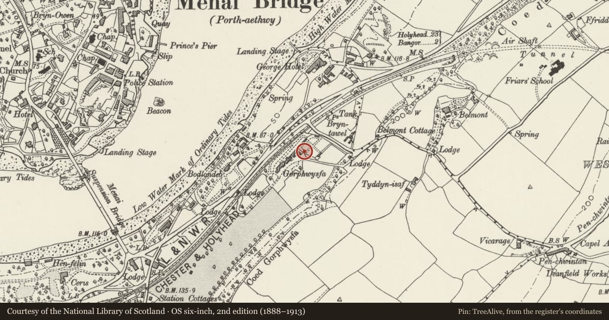
Slide toward Today to fade the historical sheet and see the modern map underneath.
David Rumsey Map Collection, Stanford LibrariesDavid Rumsey Map Collection, Stanford LibrariesDavid Rumsey Map Collection, Stanford LibrariesDavid Rumsey Map Collection, Stanford LibrariesDavid Rumsey Map Collection, Stanford Libraries
5 historical maps cover this location, the earliest the 1896 map "Sheet 7. Ordnance Survey of England and Wales." (David Rumsey Map Collection, Stanford Libraries).
Historical maps covering this location
- 1896 · Sheet 7. Ordnance Survey of England and Wales. (David Rumsey Map Collection, Stanford Libraries)
- 1899 · 106 Bangor (Outline) (David Rumsey Map Collection, Stanford Libraries)
- 1899 · 106 Bangor (Hills) (David Rumsey Map Collection, Stanford Libraries)
- 1901 · Sheet 9 and 10. (David Rumsey Map Collection, Stanford Libraries)
- 1919 · Sheet 41. Anglesey. (David Rumsey Map Collection, Stanford Libraries)
Cadw's description
Location
To NE of Y Glyn beside the former stable-yard and outbuilding range. Set into the former garden wall.
History
Probably mid C19 and dating from the period when the estate, then known as Gorphwysfa, was owned by the Chester to Holyhead Railway Company (1846-61).
Exterior
Possibly re-using earlier wrought ironwork. Rectangular panels to the gates with elaborately scrolled detail; lock bar and dog bar and similar detailed deep tympanum.
Bull nosed rubble voussoirs with keystone to segmental arched over; chambered coping. Coursed rubble gate piers with capstones surmounted by stone lions.
Partially overgrown (June 1988).
Reason for designation
Included for group value with Y Glyn.
Nearby in the register
- Y GlynDomesticunder 1 mi
- Gate Piers to the Drive at Normal College (George Hostel)Domesticunder 1 mi
- BodlondebDomesticunder 1 mi
- BodlondebDomesticunder 1 mi
Other entries of the same register within about three miles of this one, by straight line.