Cof Cymru: National Historic Assets of Wales · Wales
Alliance & Leicester Building Society
Bangor, Gwynedd, Wales
A Grade II listed building in Bangor, Gwynedd, designated on 27 May 1949.
The record
- Designation
- Listed building, Grade II
- Broad class
- Commercial
- Date of designation
- 27 May 1949
- Community
- Bangor
- Unitary authority
- Gwynedd
- Country
- Wales
- Coordinates
- 53.22731, -4.12440
- Cadw reference
- 4039
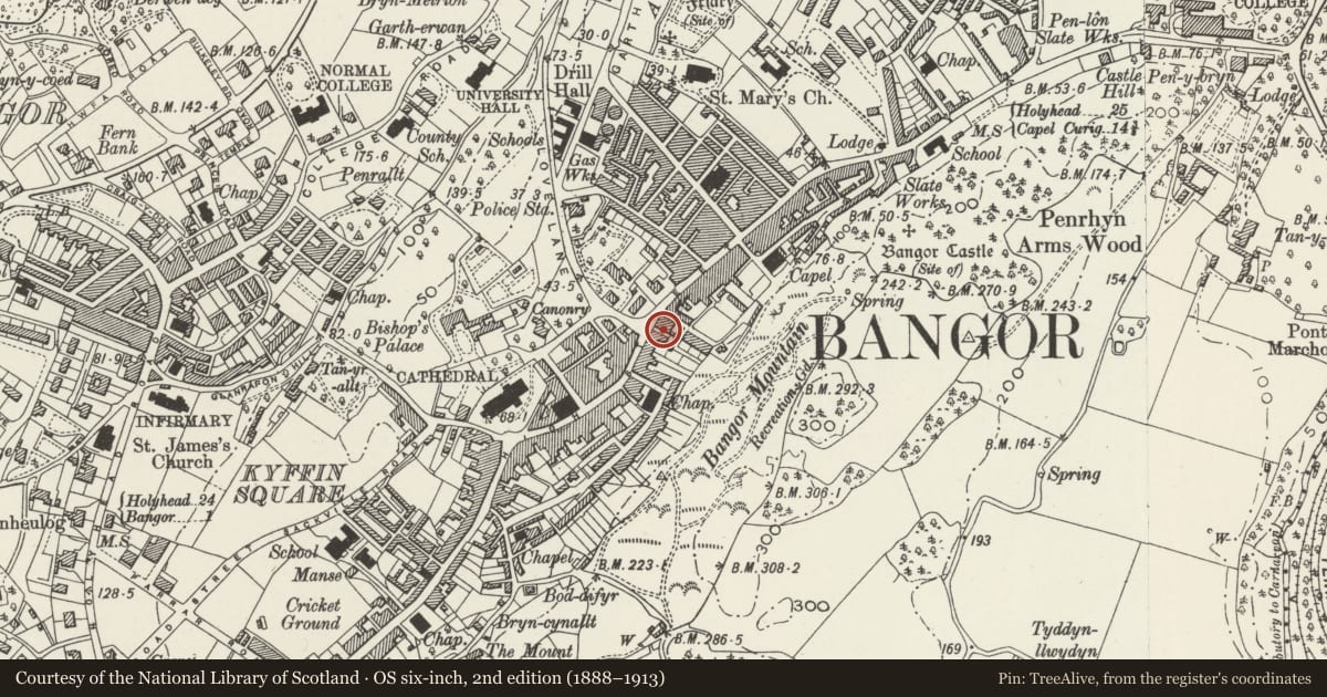
Slide toward Today to fade the historical sheet and see the modern map underneath.
David Rumsey Map Collection, Stanford LibrariesDavid Rumsey Map Collection, Stanford LibrariesDavid Rumsey Map Collection, Stanford LibrariesDavid Rumsey Map Collection, Stanford LibrariesDavid Rumsey Map Collection, Stanford Libraries
5 historical maps cover this location, the earliest the 1896 map "Sheet 7. Ordnance Survey of England and Wales." (David Rumsey Map Collection, Stanford Libraries).
Historical maps covering this location
- 1896 · Sheet 7. Ordnance Survey of England and Wales. (David Rumsey Map Collection, Stanford Libraries)
- 1899 · 106 Bangor (Outline) (David Rumsey Map Collection, Stanford Libraries)
- 1899 · 106 Bangor (Hills) (David Rumsey Map Collection, Stanford Libraries)
- 1901 · Sheet 9 and 10. (David Rumsey Map Collection, Stanford Libraries)
- 1919 · Sheet 41. Anglesey. (David Rumsey Map Collection, Stanford Libraries)
Cadw's description
Location
Detached almost opposite the junction with Garth Road; Plasllwyd Terrace to left.
History
Built ca1849.
Exterior
3-storey 6-window (3 pairs) ashlar front. Quoins, cill bands, ground floor cornice and plinth; channelled ground floor to Bank. Slate roof, bracket eaves and cement render chimney stacks. Sash windows to 1st and 2nd floors, some 12-pane but mostly with glazing bars removed to lower sashes. The Bank has a classical porch to far left with parapet, open-pediment, tapered pilaster sand lugged architrave - steps up to panelled double doors with scrolled ornament and lettering over - "Bank established 1836". Modern bank windows and modern building society shop front. Some of the contemporary cast-iron railings retained.
Rendered left side with small attic windows and some sash windows; flat roof 2-storey extension at rear and similar extension to right side. Cement rendered right side and rear with grilled small pane sash windows; modern dormers at rear.
Reason for designation
Group value with Lloyds Bank and the Clock Tower.
Nearby in the register
- Midland BankCommercialunder 1 mi
- Lloyds BankCommercialunder 1 mi
- Clock TowerGardens, Parks and Urban Spacesunder 1 mi
- Oliver'sCommercialunder 1 mi
Other entries of the same register within about three miles of this one, by straight line.