Cof Cymru: National Historic Assets of Wales · Wales
Gate Piers & Gates at entrance to St. Marys Churchyard
Bangor, Gwynedd, Wales
A Grade II listed building in Bangor, Gwynedd, designated on 2 August 1988.
The record
- Designation
- Listed building, Grade II
- Broad class
- Religious, Ritual and Funerary
- Date of designation
- 2 August 1988
- Community
- Bangor
- Unitary authority
- Gwynedd
- Country
- Wales
- Coordinates
- 53.23060, -4.12515
- Cadw reference
- 3985
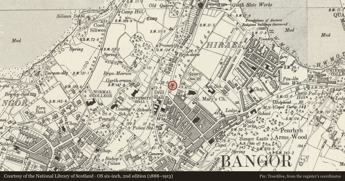
Slide toward Today to fade the historical sheet and see the modern map underneath.
David Rumsey Map Collection, Stanford LibrariesDavid Rumsey Map Collection, Stanford LibrariesDavid Rumsey Map Collection, Stanford LibrariesDavid Rumsey Map Collection, Stanford LibrariesDavid Rumsey Map Collection, Stanford Libraries
5 historical maps cover this location, the earliest the 1896 map "Sheet 7. Ordnance Survey of England and Wales." (David Rumsey Map Collection, Stanford Libraries).
Historical maps covering this location
- 1896 · Sheet 7. Ordnance Survey of England and Wales. (David Rumsey Map Collection, Stanford Libraries)
- 1899 · 106 Bangor (Outline) (David Rumsey Map Collection, Stanford Libraries)
- 1899 · 106 Bangor (Hills) (David Rumsey Map Collection, Stanford Libraries)
- 1901 · Sheet 9 and 10. (David Rumsey Map Collection, Stanford Libraries)
- 1919 · Sheet 41. Anglesey. (David Rumsey Map Collection, Stanford Libraries)
Cadw's description
Location
Opening onto a short tree-lined path leading to the rectangular churchyard.
History
Probably contemporary with the church, built 1864.
Exterior
Octagonal stone gate piers with cornice and tall ogee caps. Iron gates with ornate Gothic detail. Railings to either side, on stone plinth and with spearhead finials; terminated at square piers with pyramidal caps.
Reason for designation
Included for group value with St Mary’s Church.
Nearby in the register
- Former Tabernacle Chapel including Hall (Cwmni Theatr Hwyl a Fflag)Religious, Ritual and Funeraryunder 1 mi
- St Marys Parish ChurchReligious, Ritual and Funeraryunder 1 mi
- Erw FairDomesticunder 1 mi
- Erw FairDomesticunder 1 mi
Other entries of the same register within about three miles of this one, by straight line.