Cof Cymru: National Historic Assets of Wales · Wales
Former Prison Enclosure Wall behind Greystones & St. David's
Mold, Flintshire, Wales
A Grade II listed building in Mold, Flintshire, designated on 30 March 1987.
The record
- Designation
- Listed building, Grade II
- Broad class
- Civil
- Date of designation
- 30 March 1987
- Community
- Mold
- Unitary authority
- Flintshire
- Country
- Wales
- Coordinates
- 53.15752, -3.15556
- Cadw reference
- 396
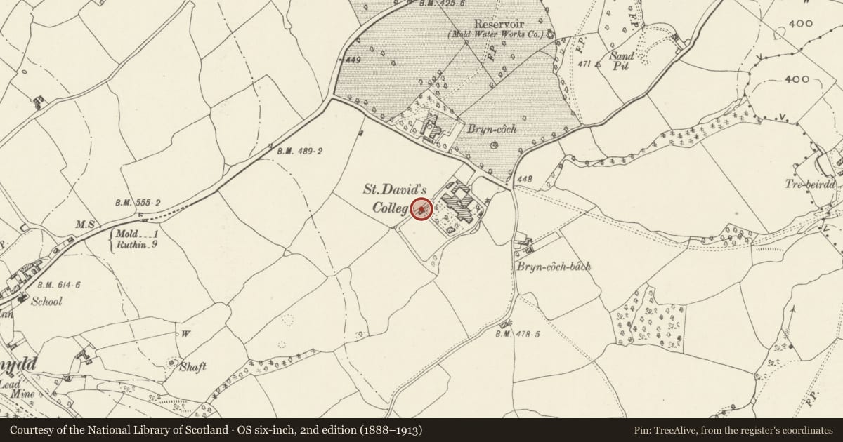
Slide toward Today to fade the historical sheet and see the modern map underneath.
David Rumsey Map Collection, Stanford LibrariesDavid Rumsey Map Collection, Stanford LibrariesDavid Rumsey Map Collection, Stanford LibrariesDavid Rumsey Map Collection, Stanford LibrariesLlyfrgell Genedlaethol Cymru – The National Library of Wales
5 historical maps cover this location, the earliest the 1795 map "To Sir Watkin Williams-Wynn Bart ... the map of the six counties of North Wales is most humbly inscribed by his obedient humble servant" (Llyfrgell Genedlaethol Cymru – The National Library of Wales).
Historical maps covering this location
- 1795 · To Sir Watkin Williams-Wynn Bart ... the map of the six counties of North Wales is most… (Llyfrgell Genedlaethol Cymru – The National Library of Wales)
- 1883 · Watershed map England, Wales 3. (David Rumsey Map Collection, Stanford Libraries)
- 1898 · 108 Flint (Hills) (David Rumsey Map Collection, Stanford Libraries)
- 1898 · 108 Flint (Outline) (David Rumsey Map Collection, Stanford Libraries)
- 1901 · Sheet 9 and 10. (David Rumsey Map Collection, Stanford Libraries)
Cadw's description
Location
Set immediately behind and adjoining the former prison gatehouse and workshop.
Exterior
Stone, squared rubble wall, approximately 15ft high; topped with glass fragments. It encloses an irregular rectangle approximately 225m by 135m south west of the gatehouse. A c.30m section has been taken down in the NW corner.
Reason for designation
Included for group value.
Nearby in the register
- Former Prison Workshop to rear of Greystone's & St. David'sCivilunder 1 mi
- Former Prison Gatehouse & Governor's Residence (now Greystones & St. David's)Domesticunder 1 mi
- PreswylfaDomesticunder 1 mi
- Chimney at Fron HallDomesticunder 1 mi
Other entries of the same register within about three miles of this one, by straight line.