Cof Cymru: National Historic Assets of Wales · Wales
Tafarn y Werin
Caernarfon, Gwynedd, Wales
A Grade II listed building in Walled town, Caernarfon, Gwynedd, designated on 22 May 1967.
The record
- Designation
- Listed building, Grade II
- Broad class
- Commercial
- Date of designation
- 22 May 1967
- Locality
- Walled town
- Town
- Caernarfon
- Community
- Caernarfon
- Unitary authority
- Gwynedd
- Country
- Wales
- Coordinates
- 53.14082, -4.27641
- Cadw reference
- 3866
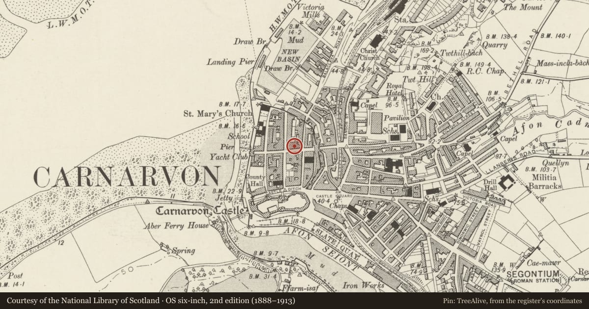
Slide toward Today to fade the historical sheet and see the modern map underneath.
David Rumsey Map Collection, Stanford LibrariesDavid Rumsey Map Collection, Stanford LibrariesDavid Rumsey Map Collection, Stanford LibrariesDavid Rumsey Map Collection, Stanford LibrariesDavid Rumsey Map Collection, Stanford Libraries
5 historical maps cover this location, the earliest the 1883 map "Watershed map England, Wales 3." (David Rumsey Map Collection, Stanford Libraries).
Historical maps covering this location
- 1883 · Watershed map England, Wales 3. (David Rumsey Map Collection, Stanford Libraries)
- 1896 · Sheet 7. Ordnance Survey of England and Wales. (David Rumsey Map Collection, Stanford Libraries)
- 1899 · 105 Carnarvon (Hills) (David Rumsey Map Collection, Stanford Libraries)
- 1901 · Sheet 9 and 10. (David Rumsey Map Collection, Stanford Libraries)
- 1919 · Sheet 41. Anglesey. (David Rumsey Map Collection, Stanford Libraries)
Cadw's description
Location
In a row of frontages midway along the street.
History
Built in the third quarter of the C19 and first shown on the 1890 Ordnance Survey. It was a grocer's shop in 1895. Owned by the Vaynol Estate until 1957.
Exterior
A shop and house of 3 storeys and 2 windows, of scribed stucco, slate roof and brick stack to the L. Ground-floor windows do not align with the upper windows, revealing its original commercial use and the position of a side passage. In the lower storey is a replaced door L of centre under a late C19 overlight. To its L and R are large 2-pane horned sash windows. At the R end is a panelled passage door under an overlight. Above the lower storey is a late C20 fascia. In the middle storey are 12-pane, in the upper storey shorter 9-pane hornless sash windows with thin glazing bars.
Reason for designation
Listed for its simple C19 Georgian character and for its contribution to the historic integrity of the walled town.
Nearby in the register
- 23 High StreetCommercialunder 1 mi
- 25 High StreetCommercialunder 1 mi
- 27 High StreetCommercialunder 1 mi
- Telephone Call-box outside The Crown public houseCommunicationsunder 1 mi
Other entries of the same register within about three miles of this one, by straight line.