Cof Cymru: National Historic Assets of Wales · Wales
Gates, gate piers & railings to forecourt of Capel Caersalem
Caernarfon, Gwynedd, Wales
A Grade II listed building in Caernarfon, Gwynedd, designated on 31 March 1983.
The record
- Designation
- Listed building, Grade II
- Broad class
- Religious, Ritual and Funerary
- Date of designation
- 31 March 1983
- Locality
- Caernarfon
- Town
- Caernarfon
- Community
- Caernarfon
- Unitary authority
- Gwynedd
- Country
- Wales
- Coordinates
- 53.13844, -4.27151
- Cadw reference
- 3860
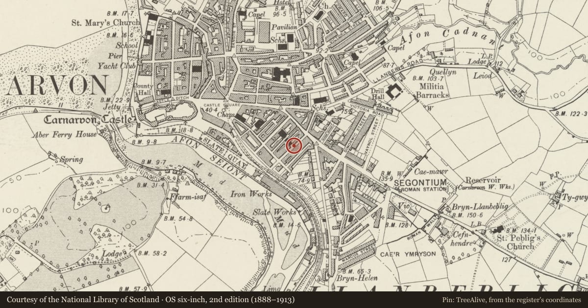
Slide toward Today to fade the historical sheet and see the modern map underneath.
David Rumsey Map Collection, Stanford LibrariesDavid Rumsey Map Collection, Stanford LibrariesDavid Rumsey Map Collection, Stanford LibrariesDavid Rumsey Map Collection, Stanford LibrariesDavid Rumsey Map Collection, Stanford Libraries
5 historical maps cover this location, the earliest the 1883 map "Watershed map England, Wales 3." (David Rumsey Map Collection, Stanford Libraries).
Historical maps covering this location
- 1883 · Watershed map England, Wales 3. (David Rumsey Map Collection, Stanford Libraries)
- 1896 · Sheet 7. Ordnance Survey of England and Wales. (David Rumsey Map Collection, Stanford Libraries)
- 1899 · 105 Carnarvon (Hills) (David Rumsey Map Collection, Stanford Libraries)
- 1901 · Sheet 9 and 10. (David Rumsey Map Collection, Stanford Libraries)
- 1919 · Sheet 41. Anglesey. (David Rumsey Map Collection, Stanford Libraries)
Cadw's description
Location
Fronting the street and flanked by terraced houses.
History
Caersalem is an early C19 chapel foundation but the present forecourt gates and railings were probably erected in the third quarter of the C19 when the chapel was rebuilt, and are shown on the 1888 Ordnance Survey.
Exterior
Cast iron gates and gate piers on a dwarf wall with saddleback coping. Double central gates have decorative finials. The square gate piers have nogging above the dwarf wall and trefoiled heads. The flanking railings have similar detail to the gates.
Reason for designation
Listed as well-detailed C19 gateway and railings making an important contribution to the setting of Capel Caersalem.
Nearby in the register
- 28 Garnon StreetDomesticunder 1 mi
- Capel CaersalemReligious, Ritual and Funeraryunder 1 mi
- Capel Engedi, including forecourt gates and railingsReligious, Ritual and Funeraryunder 1 mi
- 67-69 Pool StreetCommercialunder 1 mi
Other entries of the same register within about three miles of this one, by straight line.