Cof Cymru: National Historic Assets of Wales · Wales
Churchyard of St. Mary's Parish Church
Mold, Flintshire, Wales
A Grade II listed building in Mold, Flintshire, designated on 30 March 1987.
The record
- Designation
- Listed building, Grade II
- Broad class
- Religious, Ritual and Funerary
- Date of designation
- 30 March 1987
- Community
- Mold
- Unitary authority
- Flintshire
- Country
- Wales
- Coordinates
- 53.16913, -3.14344
- Cadw reference
- 384
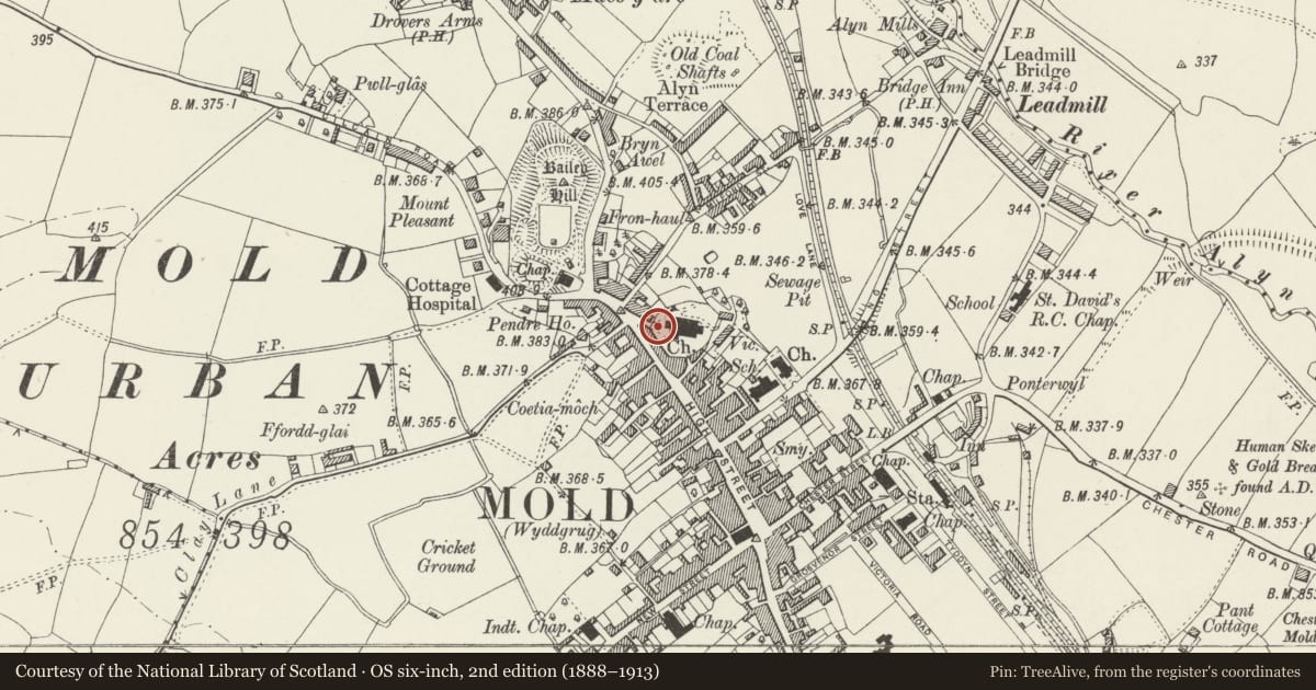
Slide toward Today to fade the historical sheet and see the modern map underneath.
David Rumsey Map Collection, Stanford LibrariesDavid Rumsey Map Collection, Stanford LibrariesDavid Rumsey Map Collection, Stanford LibrariesDavid Rumsey Map Collection, Stanford LibrariesLlyfrgell Genedlaethol Cymru – The National Library of Wales
5 historical maps cover this location, the earliest the 1795 map "To Sir Watkin Williams-Wynn Bart ... the map of the six counties of North Wales is most humbly inscribed by his obedient humble servant" (Llyfrgell Genedlaethol Cymru – The National Library of Wales).
Historical maps covering this location
- 1795 · To Sir Watkin Williams-Wynn Bart ... the map of the six counties of North Wales is most… (Llyfrgell Genedlaethol Cymru – The National Library of Wales)
- 1883 · Watershed map England, Wales 3. (David Rumsey Map Collection, Stanford Libraries)
- 1898 · 108 Flint (Hills) (David Rumsey Map Collection, Stanford Libraries)
- 1898 · 108 Flint (Outline) (David Rumsey Map Collection, Stanford Libraries)
- 1901 · Sheet 9 and 10. (David Rumsey Map Collection, Stanford Libraries)
Cadw's description
Location
The upper churchyard surrounding the parish church but not including the later Victorian graveyard to N.
Exterior
Raised churchyard with modern railing on stone revetment wall. Largely re-ordered gravestones. Number of table tombs. Particularly noteworthy are:
SE of S aisle. David Lloyd of Tythyn 1658. Guilloche frieze. Classical pilasters to eroded side panels.
E of chancel. Edward Williams of Hendrerifa 1730. Ogee panels. Baluster pilasters.
NE corner. Williams family. Wife died 1832. Sarcophagus. Re-erected?
NW of N aisle. Jones family. 1745. Dentilled cornice, fluted pilasters panelled sides.
N of N aisle. Elizabeth Leach. 1768. Ovoid, re-set and re-ordered.
Alongside N porch. Richard Wilson RA 1782. Original top and plinth moulded, later panelled sides.
Reason for designation
Group value.
Nearby in the register
- Parish Church in St MaryReligious, Ritual and Funeraryunder 1 mi
- Dolphin Hotel (south part only)Commercialunder 1 mi
- 90 High StreetDomesticunder 1 mi
- Crest HouseDomesticunder 1 mi
Other entries of the same register within about three miles of this one, by straight line.