Cof Cymru: National Historic Assets of Wales · Wales
R D Brennan, Butcher
Mold, Flintshire, Wales
A Grade II listed building in Mold, Flintshire, designated on 30 March 1987.
The record
- Designation
- Listed building, Grade II
- Broad class
- Commercial
- Date of designation
- 30 March 1987
- Community
- Mold
- Unitary authority
- Flintshire
- Country
- Wales
- Coordinates
- 53.16801, -3.14284
- Cadw reference
- 376
Slide toward Today to fade the historical sheet and see the modern map underneath.
David Rumsey Map Collection, Stanford LibrariesDavid Rumsey Map Collection, Stanford LibrariesDavid Rumsey Map Collection, Stanford LibrariesDavid Rumsey Map Collection, Stanford LibrariesLlyfrgell Genedlaethol Cymru – The National Library of Wales
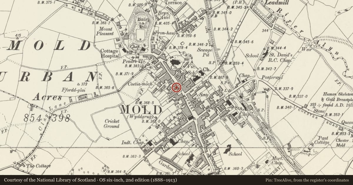
5 historical maps cover this location, the earliest the 1795 map "To Sir Watkin Williams-Wynn Bart ... the map of the six counties of North Wales is most humbly inscribed by his obedient humble servant" (Llyfrgell Genedlaethol Cymru – The National Library of Wales).
Historical maps covering this location
- 1795 · To Sir Watkin Williams-Wynn Bart ... the map of the six counties of North Wales is most… (Llyfrgell Genedlaethol Cymru – The National Library of Wales)
- 1883 · Watershed map England, Wales 3. (David Rumsey Map Collection, Stanford Libraries)
- 1898 · 108 Flint (Hills) (David Rumsey Map Collection, Stanford Libraries)
- 1898 · 108 Flint (Outline) (David Rumsey Map Collection, Stanford Libraries)
- 1901 · Sheet 9 and 10. (David Rumsey Map Collection, Stanford Libraries)
Cadw's description
Location
On the street line near the junction of the High Street with Earl Road. Stepped down from No 34 adjoining.
History
Probably C19.
Exterior
2 storey, roughcast front. Gently pitched slate roof, plain eaves no chimney. Single, 4 pane sash window with C20 keystoned shouldered architrave, stone sill. Shopfront has end pilasters and consoles to fascia with crested cornice, blind box over.
Reason for designation
Included for group value.
Nearby in the register
- International FurnishingCommercialunder 1 mi
- H.I. Jones, ChemistCommercialunder 1 mi
- Thomsons Wines & SpirtsCommercialunder 1 mi
- Cambrian HouseDomesticunder 1 mi
Other entries of the same register within about three miles of this one, by straight line.