Cof Cymru: National Historic Assets of Wales · Wales
Earl Buildings including Town & Country & C.Wilcox
Mold, Flintshire, Wales
A Grade II listed building in Mold, Flintshire, designated on 30 March 1987.
The record
- Designation
- Listed building, Grade II
- Broad class
- Commercial
- Date of designation
- 30 March 1987
- Community
- Mold
- Unitary authority
- Flintshire
- Country
- Wales
- Coordinates
- 53.16755, -3.14277
- Cadw reference
- 362
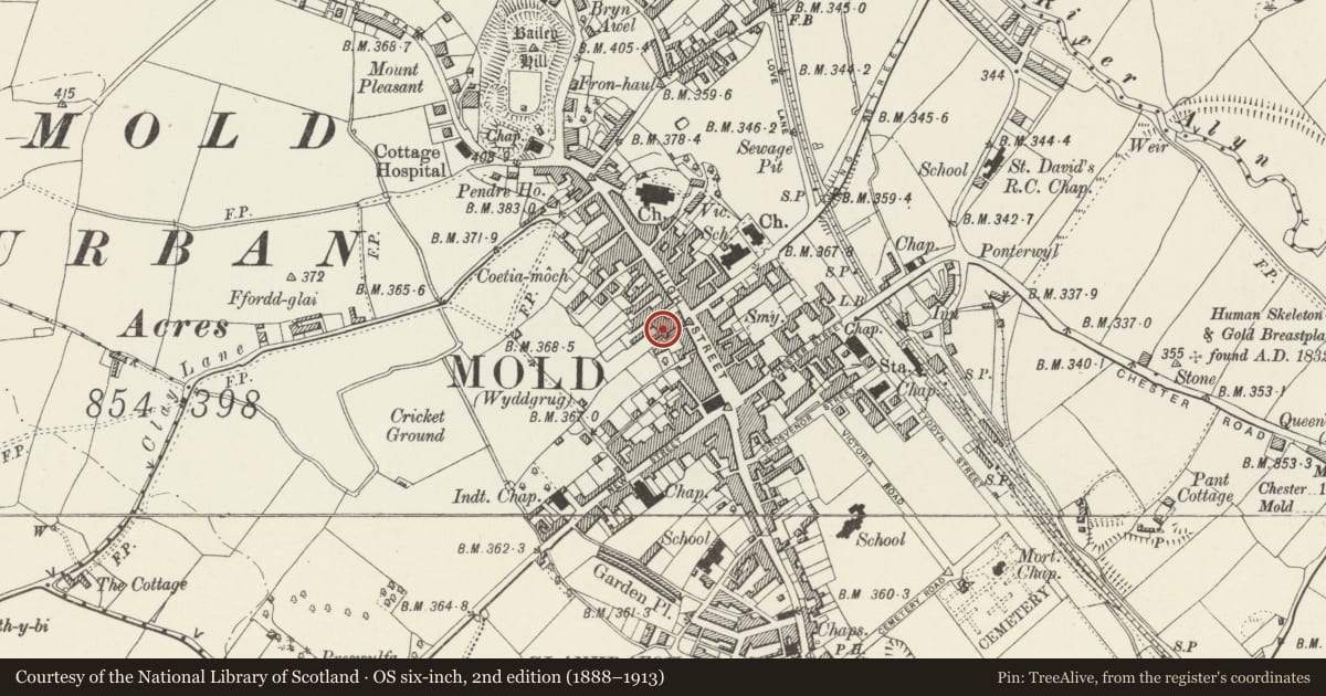
Slide toward Today to fade the historical sheet and see the modern map underneath.
David Rumsey Map Collection, Stanford LibrariesDavid Rumsey Map Collection, Stanford LibrariesDavid Rumsey Map Collection, Stanford LibrariesDavid Rumsey Map Collection, Stanford LibrariesLlyfrgell Genedlaethol Cymru – The National Library of Wales
5 historical maps cover this location, the earliest the 1795 map "To Sir Watkin Williams-Wynn Bart ... the map of the six counties of North Wales is most humbly inscribed by his obedient humble servant" (Llyfrgell Genedlaethol Cymru – The National Library of Wales).
Historical maps covering this location
- 1795 · To Sir Watkin Williams-Wynn Bart ... the map of the six counties of North Wales is most… (Llyfrgell Genedlaethol Cymru – The National Library of Wales)
- 1883 · Watershed map England, Wales 3. (David Rumsey Map Collection, Stanford Libraries)
- 1898 · 108 Flint (Hills) (David Rumsey Map Collection, Stanford Libraries)
- 1898 · 108 Flint (Outline) (David Rumsey Map Collection, Stanford Libraries)
- 1901 · Sheet 9 and 10. (David Rumsey Map Collection, Stanford Libraries)
Cadw's description
Location
On the street line between Trustee Savings Bank at High Street corner and Territorial Force Association building.
Exterior
Large c18 domestic (?) building, altered later. 3 storey 4 bay scribed cement render front with pedoment treatment and chanelled and pilasters, right hand bay set back slightly and possibly later. Present roof of cement tiles, chimneys removed. Small flat roofed lead dormer with small panes to right slope of "pediment" roof.
6 pane shallow sashes to 2nd floor, (outer pair blocked). 12 pane sashes, probably original, with plain reveals, stone sills, 1st floor. Ground floor modern shopfronts. Left elevation has 12 pane sashes to 1st floor recessed in round arched panels above a sill band. Later casements above. 24 pane sash stair window to centre of rear elevation.
Reason for designation
Group value.
Nearby in the register
- Territorial Force AssociationInstitutionalunder 1 mi
- Cambrian HouseDomesticunder 1 mi
- Earl Chambers (Chester Chronicle Building)Commercialunder 1 mi
- 24 High StreetCommercialunder 1 mi
Other entries of the same register within about three miles of this one, by straight line.