Cof Cymru: National Historic Assets of Wales · Wales
Lamp Standard
Llandudno, Conwy, Wales
A Grade II listed building in Llandudno, Conwy, designated on 16 March 1976.
The record
- Designation
- Listed building, Grade II
- Broad class
- Gardens, Parks and Urban Spaces
- Date of designation
- 16 March 1976
- Locality
- Llandudno
- Community
- Llandudno
- Unitary authority
- Conwy
- Country
- Wales
- Coordinates
- 53.32377, -3.82651
- Cadw reference
- 3403
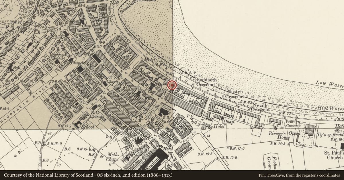
Slide toward Today to fade the historical sheet and see the modern map underneath.
David Rumsey Map Collection, Stanford LibrariesDavid Rumsey Map Collection, Stanford LibrariesDavid Rumsey Map Collection, Stanford LibrariesNational Library of ScotlandNational Library of Scotland
5 historical maps cover this location, the earliest the 1883 map "Watershed map England, Wales 3." (David Rumsey Map Collection, Stanford Libraries).
Historical maps covering this location
- 1883 · Watershed map England, Wales 3. (David Rumsey Map Collection, Stanford Libraries)
- 1885 · OS One-Inch (Hills) 1885-1903 (National Library of Scotland)
- 1899 · 94 Beaumaris (Hills) (David Rumsey Map Collection, Stanford Libraries)
- 1901 · Sheet 9 and 10. (David Rumsey Map Collection, Stanford Libraries)
- 1930 · OS Popular Edition 1919-1947 (National Library of Scotland)
Cadw's description
Location
On pavement outside Chatsworth Hotel.
Exterior
Late Cl9. Cast iron lamp standard, similar to those on the Promenade, with tubular shaft, lamp holder with cresting and finial supported on two sides by slender curved brackets rising from the top of the shaft; circular base ornately decorated with bead and cable mouldings, foliage motifs and etc.
Reason for designation
One of an important group of C19 cast iron lamp standards which contribute to character of Llandudno as a Victorian seaside resort.
Nearby in the register
- LynwoodCommercialunder 1 mi
- Queen's Lodge HotelCommercialunder 1 mi
- Chatsworth House Hotel, 1-6 Gloddaeth CrescentCommercialunder 1 mi
- Vanguard Mobile Communications, and Sefton Mansions aboveCommercialunder 1 mi
Other entries of the same register within about three miles of this one, by straight line.