Cof Cymru: National Historic Assets of Wales · Wales
25 Chapel Street
Conwy, Conwy, Wales
A Grade II listed building in Walled town, Conwy, designated on 6 May 1970.
The record
- Designation
- Listed building, Grade II
- Broad class
- Domestic
- Date of designation
- 6 May 1970
- Locality
- Walled town
- Town
- Conwy
- Community
- Conwy
- Unitary authority
- Conwy
- Country
- Wales
- Coordinates
- 53.28127, -3.83071
- Cadw reference
- 3270
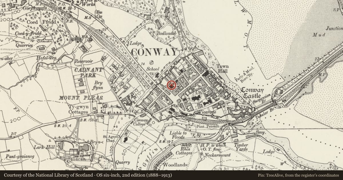
Slide toward Today to fade the historical sheet and see the modern map underneath.
David Rumsey Map Collection, Stanford LibrariesDavid Rumsey Map Collection, Stanford LibrariesDavid Rumsey Map Collection, Stanford LibrariesLlyfrgell Genedlaethol Cymru – The National Library of WalesDavid Rumsey Map Collection, Stanford Libraries
5 historical maps cover this location, the earliest the 1795 map "To Sir Watkin Williams-Wynn Bart ... the map of the six counties of North Wales is most humbly inscribed by his obedient humble servant" (Llyfrgell Genedlaethol Cymru – The National Library of Wales).
Historical maps covering this location
- 1795 · To Sir Watkin Williams-Wynn Bart ... the map of the six counties of North Wales is most… (Llyfrgell Genedlaethol Cymru – The National Library of Wales)
- 1830 · V.3:11-15:XV. Britisches Reich. A. Kon: England. b. Frstenthum Wales: Shire: 37-40 (David Rumsey Map Collection, Stanford Libraries)
- 1883 · Watershed map England, Wales 3. (David Rumsey Map Collection, Stanford Libraries)
- 1899 · 94 Beaumaris (Hills) (David Rumsey Map Collection, Stanford Libraries)
- 1901 · Sheet 9 and 10. (David Rumsey Map Collection, Stanford Libraries)
Cadw's description
Location
The end of a row of 3 houses opposite Erskine Terrace, and abutting Capel Tabernacl to the SW.
History
In a row of probably mid C19 houses and shown on the 1889 Ordnance Survey.
Exterior
The R-hand of a row of 3 C19 terraced houses (the rest now altered), a 2-storey single-fronted house of pebble-dashed front, smooth-rendered plinth, eaves and sill band, pilasters and thin architraves. The slate roof has a brick stack to the R, the upper portion of which has been rebuilt above the level of the adjoining Capel Tabernacl. The entrance on the L side has a half-glazed panel door with margin lights. Windows are replacement margin-glazed top-hung casements in earlier openings (replacing sashes described in previous survey of 1975), under a segmental head in the lower and storey and beneath the eaves above.
Interior
Not inspected.
Reason for designation
Listed, notwithstanding window replacement, as a small C19 house and for group value within the historical townscape.
Nearby in the register
- Capel TabernaclReligious, Ritual and Funeraryunder 1 mi
- 1 Erskine TerraceDomesticunder 1 mi
- 26 Chapel StreetDomesticunder 1 mi
- Carreg LwydNo class recordedunder 1 mi
Other entries of the same register within about three miles of this one, by straight line.