Cof Cymru: National Historic Assets of Wales · Wales
Pack Horse Bridge
Hope, Flintshire, Wales
A Grade II* listed building in Caergwrle, Hope, Flintshire, designated on 2 July 1962.
The record
- Designation
- Listed building, Grade II*
- Broad class
- Transport
- Date of designation
- 2 July 1962
- Locality
- Caergwrle
- Community
- Hope
- Unitary authority
- Flintshire
- Country
- Wales
- Coordinates
- 53.11114, -3.03803
- Cadw reference
- 30
Slide toward Today to fade the historical sheet and see the modern map underneath.
David Rumsey Map Collection, Stanford LibrariesDavid Rumsey Map Collection, Stanford LibrariesDavid Rumsey Map Collection, Stanford LibrariesLlyfrgell Genedlaethol Cymru – The National Library of WalesDavid Rumsey Map Collection, Stanford Libraries
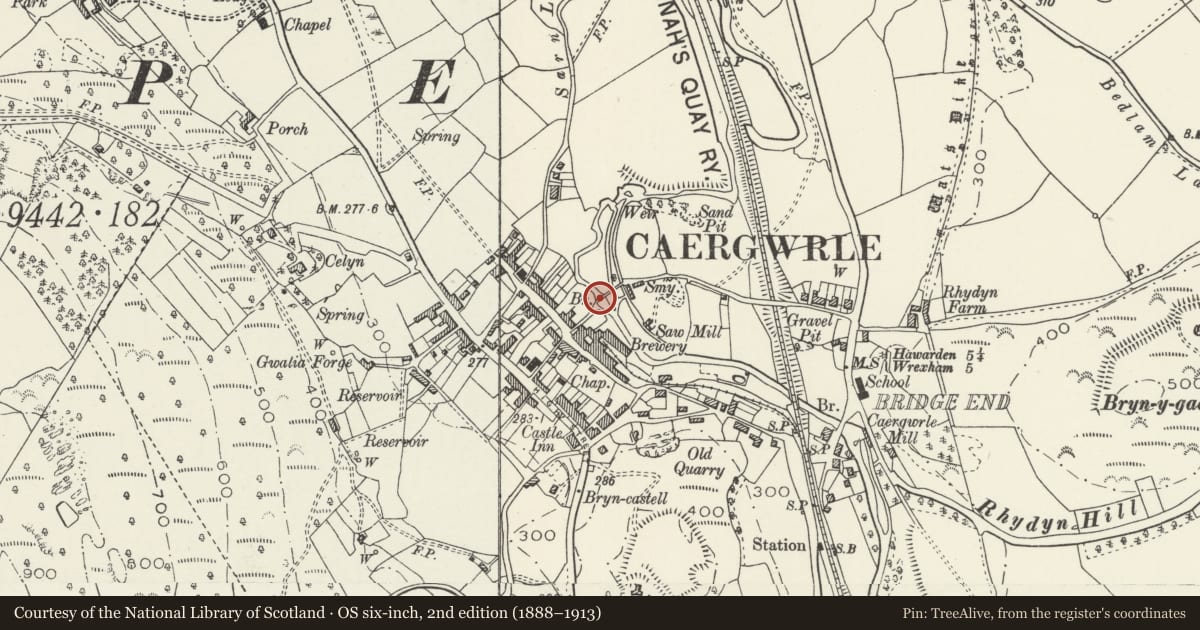
5 historical maps cover this location, the earliest the 1608 map "(13) Cambriae Typus." (David Rumsey Map Collection, Stanford Libraries).
Historical maps covering this location
- 1608 · (13) Cambriae Typus. (David Rumsey Map Collection, Stanford Libraries)
- 1795 · To Sir Watkin Williams-Wynn Bart ... the map of the six counties of North Wales is most… (Llyfrgell Genedlaethol Cymru – The National Library of Wales)
- 1883 · Watershed map England, Wales 3. (David Rumsey Map Collection, Stanford Libraries)
- 1898 · 108 Flint (Hills) (David Rumsey Map Collection, Stanford Libraries)
- 1901 · Sheet 9 and 10. (David Rumsey Map Collection, Stanford Libraries)
Cadw's description
Location
Spanning the River Alyn in the centre of Caergwrle village, at the end of Fellows Lane.
History
Vernacular packhorse bridge of probable medieval origin (given this river crossing's proximity to Caergwrle Castle), though extended and altered in the C17 and later.
Exterior
Narrow packhorse bridge approximately 50m long; of sandstone and freestone rubble with low parapets (C18 or C19 replacements) with curved sandstone capping stones. The bridge spans the river in two places with an irregular central island. There are four crude segmental arches in all with three sets of surviving triangular cutwaters, two retaining parapetted refuges. A plain late C19 gate on the upstream side gives access to the island; irregular masonry to the lower bridge walls in this section.
Reason for designation
Listed Grade II* as a fine and unusually long sub-medieval packhorse bridge with probable medieval origins.
Scheduled Ancient Monument FL133.
Nearby in the register
- Caergwrle Packhorse BridgeBridgeunder 1 mi
- Lilac CottageDomesticunder 1 mi
- Ty Gwyn, including attached wall and outbuildingsDomesticunder 1 mi
- Bridge End BridgeTransportunder 1 mi
Other entries of the same register within about three miles of this one, by straight line.