Cof Cymru: National Historic Assets of Wales · Wales
Wall and gatepiers to stable court at Y Plas
Llansteffan, Carmarthenshire, Wales
A Grade II listed building in Llansteffan, Carmarthen, Carmarthenshire, designated on 5 November 2002.
The record
- Designation
- Listed building, Grade II
- Broad class
- Domestic
- Date of designation
- 5 November 2002
- Locality
- Llansteffan
- Town
- Carmarthen
- Community
- Llansteffan
- Unitary authority
- Carmarthenshire
- Country
- Wales
- Coordinates
- 51.76811, -4.39408
- Cadw reference
- 27076
Slide toward Today to fade the historical sheet and see the modern map underneath.
David Rumsey Map Collection, Stanford LibrariesDavid Rumsey Map Collection, Stanford LibrariesDavid Rumsey Map Collection, Stanford LibrariesDavid Rumsey Map Collection, Stanford LibrariesDavid Rumsey Map Collection, Stanford Libraries
5 historical maps cover this location, the earliest the 1636 map "Cornubia : Devonia, Somersetus, Dorcestria, Wiltonia, Glocestria ..." (David Rumsey Map Collection, Stanford Libraries).
Historical maps covering this location
- 1636 · Cornubia : Devonia, Somersetus, Dorcestria, Wiltonia, Glocestria ... (David Rumsey Map Collection, Stanford Libraries)
- 1860 · 41. Caermathen. (David Rumsey Map Collection, Stanford Libraries)
- 1891 · Sheet 10. Ordnance Survey of England and Wales. . (David Rumsey Map Collection, Stanford Libraries)
- 1898 · 229 Carmarthen (Hills) (David Rumsey Map Collection, Stanford Libraries)
- 1920 · Sheet 100. Llanelly. (David Rumsey Map Collection, Stanford Libraries)
Cadw's description
Location
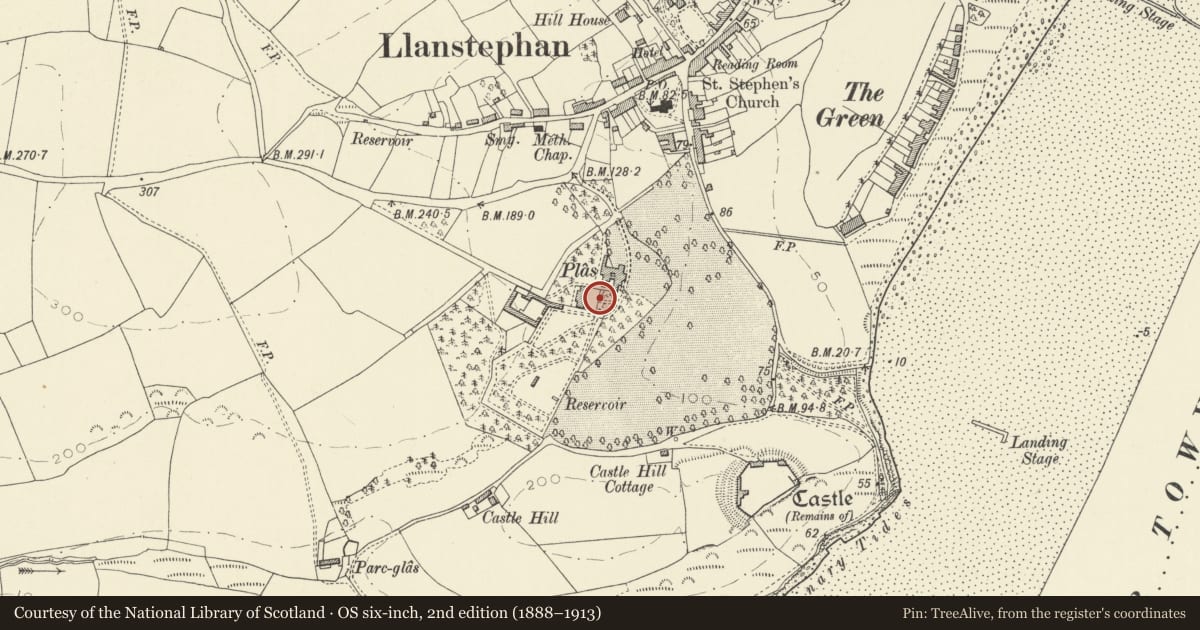
Located S of the domestic range of the Plas Mansion, and E of the Coach House and Stables, at the end of a private access road.
History
Low wall to stable court, probably contemporary with the mansion and outbuildings of 1788, built for Hugh Mears, though wrought iron gates appear early C19.
Exterior
Wall with slate coping, across E side of stable court, aligned roughly N-S, linking the walled garden to the S with the service wing of Y Plas. N end terminates in a right angle turn to the W some 4m S of the Plas. Paired square stone gatepiers aligned directly E of coach-house. Cut slate ashlar with corniced slate caps. Paired wrought-iron gates with dog-bars beneath centre rail. Spearheads above curved top rails, rising to sides and centre posts.
Reason for designation
Included for group value with Plas Mansion and the Coach House and Stables.
Nearby in the register
- Coach House and Stable Range at Y PlasAgriculture and Subsistenceunder 1 mi
- Y PlasDomesticunder 1 mi
- Plas-y-CoedDomesticunder 1 mi
- Park VillaDomesticunder 1 mi
Other entries of the same register within about three miles of this one, by straight line.