Cof Cymru: National Historic Assets of Wales · Wales
Cow house at Croff-y-Cyff
Llanycrwys, Carmarthenshire, Wales
A Grade II listed building in Ffaldybrenin, Llanycrwys, Carmarthenshire, designated on 6 September 2002.
The record
- Designation
- Listed building, Grade II
- Broad class
- Agriculture and Subsistence
- Date of designation
- 6 September 2002
- Locality
- Ffaldybrenin
- Community
- Llanycrwys
- Unitary authority
- Carmarthenshire
- Country
- Wales
- Coordinates
- 52.08097, -4.01154
- Cadw reference
- 26935
Slide toward Today to fade the historical sheet and see the modern map underneath.
David Rumsey Map Collection, Stanford LibrariesDavid Rumsey Map Collection, Stanford LibrariesDavid Rumsey Map Collection, Stanford LibrariesDavid Rumsey Map Collection, Stanford LibrariesDavid Rumsey Map Collection, Stanford Libraries
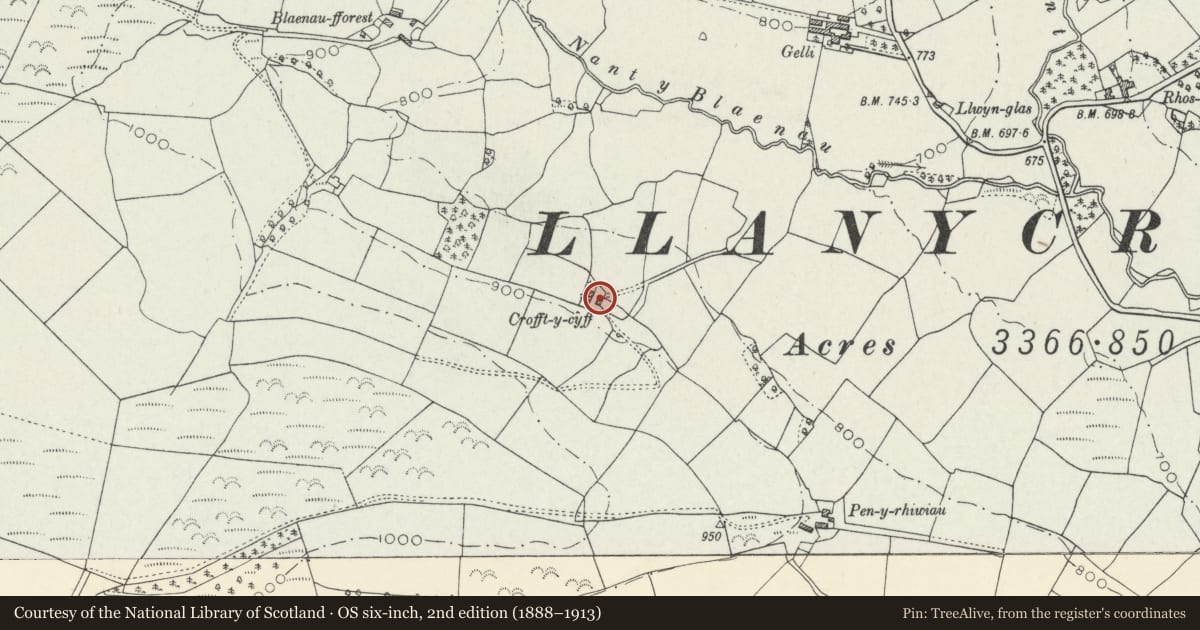
5 historical maps cover this location, the earliest the 1608 map "(13) Cambriae Typus." (David Rumsey Map Collection, Stanford Libraries).
Historical maps covering this location
- 1608 · (13) Cambriae Typus. (David Rumsey Map Collection, Stanford Libraries)
- 1830 · V.3:11-15:XV. Britisches Reich. A. Kon: England. b. Frstenthum Wales: Shire: 37-40 (David Rumsey Map Collection, Stanford Libraries)
- 1899 · 195 Lampeter (Hills) (David Rumsey Map Collection, Stanford Libraries)
- 1901 · Sheet 14. (David Rumsey Map Collection, Stanford Libraries)
- 1919 · Sheet 78. Lampeter. (David Rumsey Map Collection, Stanford Libraries)
Cadw's description
Location
On the E side of and facing the farmhouse.
History
Built in the third quarter of the C19 and first shown on the 1888 Ordnance Survey.
Exterior
A cow shed of rubble stone with brick dressings and quoins, and slate roof. The front has a central boarded door under a segmental head, to the L of which is a small-pane window and then a further boarded door. At the downhill end a small brick lean-to has been added. In the R (uphill) gable end is a boarded loft door. The rear has a single central boarded door. A kennel has been added to the R-hand, downhill, end.
Reason for designation
Listed for group value with the farmstead as a rare well-preserved small C19 upland farmstead, a type once characteristic of the region.
Nearby in the register
- Croff-y-Cyff including attached stable and cart shedDomesticunder 1 mi
- Gelli FarmhouseDomesticunder 1 mi
- Blaenau-fforestDomesticunder 1 mi
- Ffaldybrenin Independent Chapel including attached building to right.Religious, Ritual and Funeraryunder 1 mi
Other entries of the same register within about three miles of this one, by straight line.