Cof Cymru: National Historic Assets of Wales · Wales
Ty Ffynnon
St. Georges-super-Ely, Vale of Glamorgan, Wales
A Grade II listed building in St Georges Super Ely, Vale of Glamorgan, designated on 7 August 2002.
The record
- Designation
- Listed building, Grade II
- Broad class
- Defence
- Date of designation
- 7 August 2002
- Locality
- St Georges Super Ely
- Community
- St. Georges-super-Ely
- Unitary authority
- Vale of Glamorgan
- Country
- Wales
- Coordinates
- 51.48155, -3.29763
- Cadw reference
- 26823
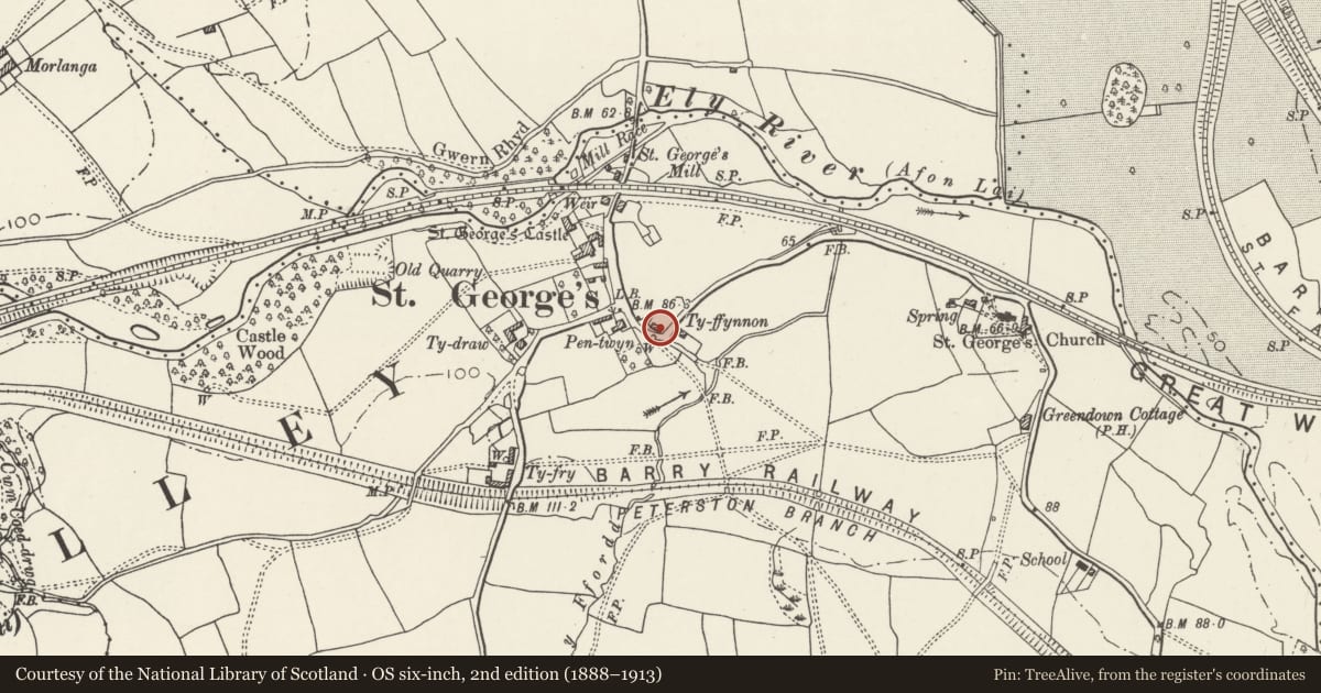
Slide toward Today to fade the historical sheet and see the modern map underneath.
David Rumsey Map Collection, Stanford LibrariesDavid Rumsey Map Collection, Stanford LibrariesDavid Rumsey Map Collection, Stanford LibrariesDavid Rumsey Map Collection, Stanford LibrariesDavid Rumsey Map Collection, Stanford Libraries
5 historical maps cover this location, the earliest the 1636 map "Cornubia : Devonia, Somersetus, Dorcestria, Wiltonia, Glocestria ..." (David Rumsey Map Collection, Stanford Libraries).
Historical maps covering this location
- 1636 · Cornubia : Devonia, Somersetus, Dorcestria, Wiltonia, Glocestria ... (David Rumsey Map Collection, Stanford Libraries)
- 1637 · The fourth table of England. Cornub. Devonia, Somerset etc. (David Rumsey Map Collection, Stanford Libraries)
- 1865 · England and Wales. England No. 6. (David Rumsey Map Collection, Stanford Libraries)
- 1898 · 263 Cardiff (Hills) (David Rumsey Map Collection, Stanford Libraries)
- 1913 · Sheet 110. Cardiff & Mouth of the Severn. (David Rumsey Map Collection, Stanford Libraries)
Cadw's description
Location
In the hamlet of St Georges, fronting the lane leading to the church.
History
Probably early C19. At one time, three cottages, each with door and window, open fireplaces and separate stairs. Formerly had first floor windows. On tithe apportionment listed as cottage and garden.
Exterior
Thatched cottage. Of whitewashed stone rubble; thatched roof with whitewashed brick stacks, 2 end and one ridge. Six openings, an asymmetrical range of windows and door resulting from conversion from 3 units, the original windows being small 4-pane casements; boarded door.
Interior
Interior re-ordered to form single dwelling retains 3 inglenook fireplaces, 2 staircases at ends.
Reason for designation
Listed as a scarce surviving example of a thatched dwelling in this region.
Nearby in the register
- Castle FarmhouseDomesticunder 1 mi
- Church CottageDomesticunder 1 mi
- Churchyard cross at Church of St GeorgeReligious, Ritual and Funeraryunder 1 mi
- Church of St GeorgeReligious, Ritual and Funeraryunder 1 mi
Other entries of the same register within about three miles of this one, by straight line.