Cof Cymru: National Historic Assets of Wales · Wales
Blackwood War Memorial
Blackwood, Caerphilly, Wales
A Grade II listed building in Blackwood, Caerphilly, designated on 31 May 2002.
The record
- Designation
- Listed building, Grade II
- Broad class
- Commemorative
- Date of designation
- 31 May 2002
- Locality
- Blackwood
- Town
- Blackwood
- Community
- Blackwood
- Unitary authority
- Caerphilly
- Country
- Wales
- Coordinates
- 51.67122, -3.19742
- Cadw reference
- 26700
Slide toward Today to fade the historical sheet and see the modern map underneath.
David Rumsey Map Collection, Stanford LibrariesDavid Rumsey Map Collection, Stanford LibrariesDavid Rumsey Map Collection, Stanford LibrariesDavid Rumsey Map Collection, Stanford LibrariesDavid Rumsey Map Collection, Stanford Libraries
5 historical maps cover this location, the earliest the 1636 map "Cornubia : Devonia, Somersetus, Dorcestria, Wiltonia, Glocestria ..." (David Rumsey Map Collection, Stanford Libraries).
Historical maps covering this location
- 1636 · Cornubia : Devonia, Somersetus, Dorcestria, Wiltonia, Glocestria ... (David Rumsey Map Collection, Stanford Libraries)
- 1637 · The fourth table of England. Cornub. Devonia, Somerset etc. (David Rumsey Map Collection, Stanford Libraries)
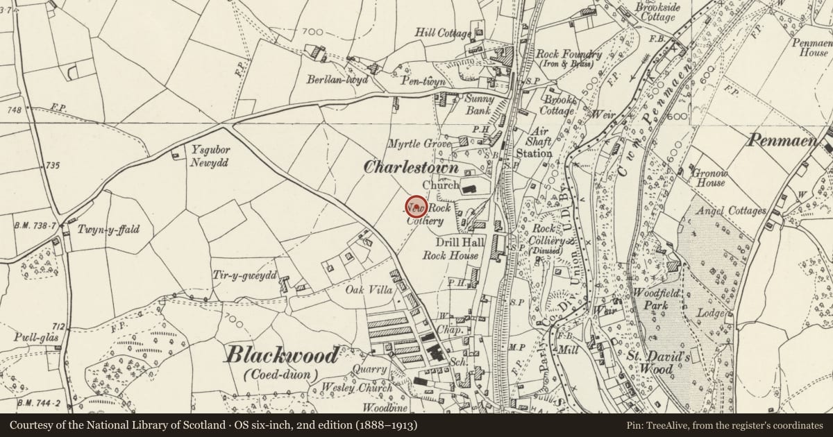
- 1895 · Sheet 11. Ordnance Survey of England and Wales. (David Rumsey Map Collection, Stanford Libraries)
- 1906 · 249 Newport (Hills) (David Rumsey Map Collection, Stanford Libraries)
- 1913 · Sheet 102. Newport. (David Rumsey Map Collection, Stanford Libraries)
Cadw's description
Location
At the junction of Lewis Lewis Avenue and Pentwyn Avenue.
History
Unveiled in 1926.
Exterior
A cenotaph-type war memorial influenced by Lutyens' Cenotaph in Whitehall, London. Of limestone ashlar on a polished granite square base and stepped plinth. The pylon has inscriptions with black letters to the front and sides, while the L side also has a metal plaque with a roll call of the 1914-18 and 1939-45 wars. The stepped cap incorporates polished granite bands and pilasters, and 2 wreaths in relief to each face.
The approach is formed of 2 square piers between convex concrete steps. On the L side facing Lewis Avenue is a dwarf wall and ashlar piers framing 3 bays of iron railings incorporating X-shaped panels.
Reason for designation
Listed for its social-historical interest and a fine public memorial.
Nearby in the register
- Blackwood Miners Welfare InstituteInstitutionalunder 1 mi
- Iron Bridge in grounds of Woodfield ParkGardens, Parks and Urban Spacesunder 1 mi
- T-plan agricultural range at Gelli-Dywyll Farm (also known as Cwmgelli Farm)Agriculture and Subsistenceunder 1 mi
- Gelli-Dywyll Farmhouse (also known as Cwmgelli Farm)Domesticunder 1 mi
Other entries of the same register within about three miles of this one, by straight line.