Cof Cymru: National Historic Assets of Wales · Wales
Crane at Victoria Dock
Caernarfon, Gwynedd, Wales
A Grade II listed building in Victoria Dock, Caernarfon, Gwynedd, designated on 3 May 2002.
The record
- Designation
- Listed building, Grade II
- Broad class
- Maritime
- Date of designation
- 3 May 2002
- Locality
- Victoria Dock
- Town
- Caernarfon
- Community
- Caernarfon
- Unitary authority
- Gwynedd
- Country
- Wales
- Coordinates
- 53.14396, -4.27577
- Cadw reference
- 26612
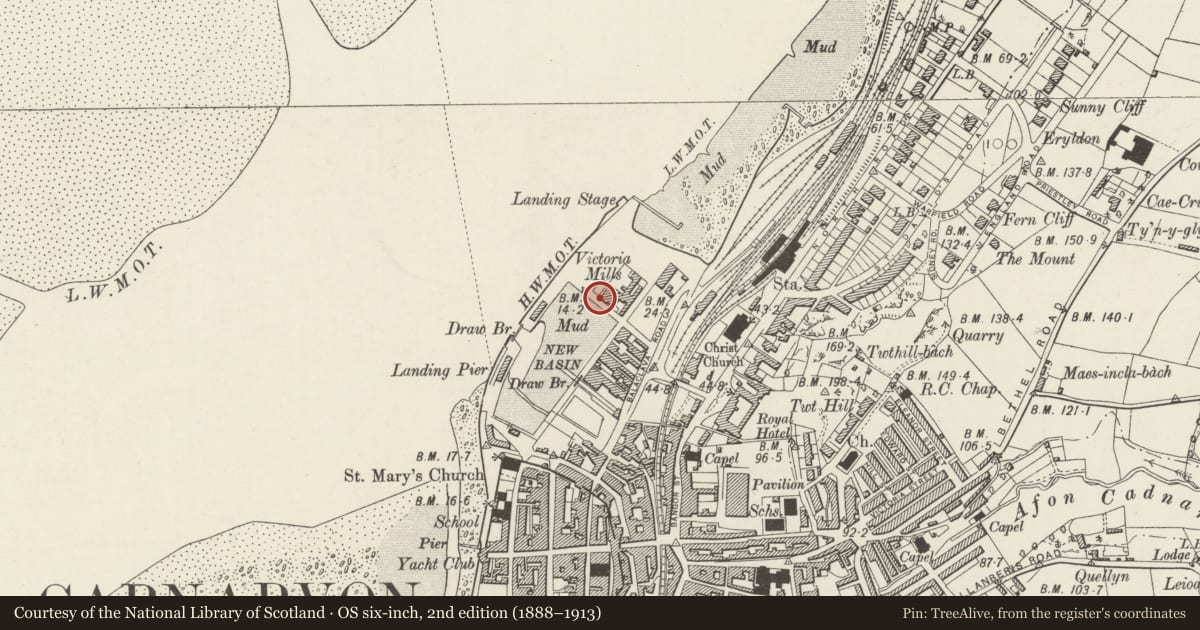
Slide toward Today to fade the historical sheet and see the modern map underneath.
David Rumsey Map Collection, Stanford LibrariesDavid Rumsey Map Collection, Stanford LibrariesDavid Rumsey Map Collection, Stanford LibrariesDavid Rumsey Map Collection, Stanford LibrariesDavid Rumsey Map Collection, Stanford Libraries
5 historical maps cover this location, the earliest the 1883 map "Watershed map England, Wales 3." (David Rumsey Map Collection, Stanford Libraries).
Historical maps covering this location
- 1883 · Watershed map England, Wales 3. (David Rumsey Map Collection, Stanford Libraries)
- 1896 · Sheet 7. Ordnance Survey of England and Wales. (David Rumsey Map Collection, Stanford Libraries)
- 1899 · 105 Carnarvon (Hills) (David Rumsey Map Collection, Stanford Libraries)
- 1901 · Sheet 9 and 10. (David Rumsey Map Collection, Stanford Libraries)
- 1919 · Sheet 41. Anglesey. (David Rumsey Map Collection, Stanford Libraries)
Cadw's description
Location
On the E side of the dock.
History
Victoria Dock was completed by 1874 and is shown in its present form on the 1890 Ordnance Survey. The Crane, by W Johnson & Co of Liverpool, is also shown on the 1890 Ordnance Survey and may be an integral feature of the original dock.
Exterior
A manually-operated cast iron crane, with a timber arm and wrought iron bucket. The structure rotates around a central column and is bolted to a flagstone surface.
Reason for designation
Listed as a well-preserved and rare-surviving C19 dock structure.
Nearby in the register
- Victoria Dock wallsMaritimeunder 1 mi
- Former warehouse at Victoria DockCommercialunder 1 mi
- Arfon OceaneeringCommercialunder 1 mi
- Drawbridge on S side of Victoria DockMaritimeunder 1 mi
Other entries of the same register within about three miles of this one, by straight line.