Cof Cymru: National Historic Assets of Wales · Wales
Old Leckwith Bridge (partly in Canton Community)
Michaelston-le-Pit and Leckwith, Vale of Glamorgan, Wales
A Grade II* listed building in Leckwith, Cardiff, Michaelston-le-Pit and Leckwith, Vale of Glamorgan, designated on 12 February 1952.
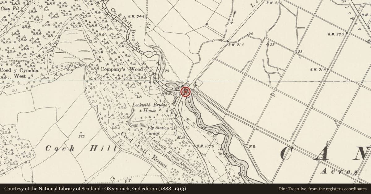
The record
- Designation
- Listed building, Grade II*
- Broad class
- Transport
- Date of designation
- 12 February 1952
- Locality
- Leckwith
- Town
- Cardiff
- Community
- Michaelston-le-Pit and Leckwith
- Unitary authority
- Vale of Glamorgan
- Country
- Wales
- Coordinates
- 51.46988, -3.21211
- Cadw reference
- 26487
Slide toward Today to fade the historical sheet and see the modern map underneath.
David Rumsey Map Collection, Stanford LibrariesDavid Rumsey Map Collection, Stanford LibrariesDavid Rumsey Map Collection, Stanford LibrariesDavid Rumsey Map Collection, Stanford LibrariesDavid Rumsey Map Collection, Stanford Libraries
5 historical maps cover this location, the earliest the 1636 map "Cornubia : Devonia, Somersetus, Dorcestria, Wiltonia, Glocestria ..." (David Rumsey Map Collection, Stanford Libraries).
Historical maps covering this location
- 1636 · Cornubia : Devonia, Somersetus, Dorcestria, Wiltonia, Glocestria ... (David Rumsey Map Collection, Stanford Libraries)
- 1637 · The fourth table of England. Cornub. Devonia, Somerset etc. (David Rumsey Map Collection, Stanford Libraries)
- 1865 · England and Wales. England No. 6. (David Rumsey Map Collection, Stanford Libraries)
- 1898 · 263 Cardiff (Hills) (David Rumsey Map Collection, Stanford Libraries)
- 1913 · Sheet 110. Cardiff & Mouth of the Severn. (David Rumsey Map Collection, Stanford Libraries)
Cadw's description
Location
At the S end of Canton crossing the River Ely into Leckwith; at the foot of Leckwith Woods and adjacent to the later bridge carrying the B4267
Exterior
See Record Number 13748 in Canton (Cardiff) community for full description of this bridge.
Nearby in the register
- Old Leckwith Bridge (partly in the Michaelston community)Transportunder 1 mi
- Leckwith BridgeBridgeunder 1 mi
- Pillar Box at corner of Theobald RoadCommunicationsunder 1 mi
- Lansdowne School, School HouseDomesticunder 1 mi
Other entries of the same register within about three miles of this one, by straight line.