Cof Cymru: National Historic Assets of Wales · Wales
Outbuilding E of the lighthouse
Tenby, Pembrokeshire, Wales
A Grade II listed building in Caldey Lighthouse, Tenby, Pembrokeshire, designated on 28 March 2002.
The record
- Designation
- Listed building, Grade II
- Broad class
- Health and Welfare
- Date of designation
- 28 March 2002
- Locality
- Caldey Lighthouse
- Town
- Tenby
- Community
- Tenby
- Unitary authority
- Pembrokeshire
- Country
- Wales
- Coordinates
- 51.63159, -4.68387
- Cadw reference
- 26450
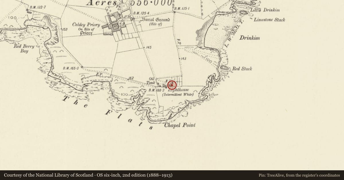
Slide toward Today to fade the historical sheet and see the modern map underneath.
David Rumsey Map Collection, Stanford LibrariesDavid Rumsey Map Collection, Stanford LibrariesDavid Rumsey Map Collection, Stanford LibrariesDavid Rumsey Map Collection, Stanford LibrariesDavid Rumsey Map Collection, Stanford Libraries
5 historical maps cover this location, the earliest the 1636 map "Cornubia : Devonia, Somersetus, Dorcestria, Wiltonia, Glocestria ..." (David Rumsey Map Collection, Stanford Libraries).
Historical maps covering this location
- 1636 · Cornubia : Devonia, Somersetus, Dorcestria, Wiltonia, Glocestria ... (David Rumsey Map Collection, Stanford Libraries)
- 1637 · The fourth table of England. Cornub. Devonia, Somerset etc. (David Rumsey Map Collection, Stanford Libraries)
- 1865 · England and Wales. England No. 6. (David Rumsey Map Collection, Stanford Libraries)
- 1891 · Sheet 10. Ordnance Survey of England and Wales. . (David Rumsey Map Collection, Stanford Libraries)
- 1898 · 245 Pembroke (Hills) (David Rumsey Map Collection, Stanford Libraries)
Cadw's description
Location
Situated just to the E of the lighthouse on the S side of the island.
History
Outhouse associated with Caldey lighthouse, probably of the 1870s like the oil-store, containing apparently 3 toilets and a pig-sty. One of a mirrored pair one in each S corner of the walled enclosure.
Exterior
Outhouse, unpainted render with slate roof and limestone coping to gables on tooled stone kneelers. single-storey, 4 bays, S front has 3 plank doors and low opening at right end with tiny window over. Four pane window in left end wall.
Reason for designation
Included as an element in the coherent group of structures associated with Caldey Lighthouse.
Nearby in the register
- Lighthouse with adjoining former Keepers' CottagesMaritimeunder 1 mi
- Boundary walls to lighthouse compoundMaritimeunder 1 mi
- Outbuilding to W of lighthouseHealth and Welfareunder 1 mi
- Former oil store at Caldey LighthouseMaritimeunder 1 mi
Other entries of the same register within about three miles of this one, by straight line.