Cof Cymru: National Historic Assets of Wales · Wales
Railings, gates and walls of Redgate to the W
Llanarth, Monmouthshire, Wales
A Grade II listed building in Bettws Newydd, Usk, Llanarth, Monmouthshire, designated on 18 November 1980.
The record
- Designation
- Listed building, Grade II
- Broad class
- Domestic
- Date of designation
- 18 November 1980
- Locality
- Bettws Newydd
- Town
- Usk
- Community
- Llanarth
- Unitary authority
- Monmouthshire
- Country
- Wales
- Coordinates
- 51.74350, -2.92615
- Cadw reference
- 2640
Slide toward Today to fade the historical sheet and see the modern map underneath.
David Rumsey Map Collection, Stanford LibrariesDavid Rumsey Map Collection, Stanford LibrariesDavid Rumsey Map Collection, Stanford LibrariesDavid Rumsey Map Collection, Stanford LibrariesDavid Rumsey Map Collection, Stanford Libraries
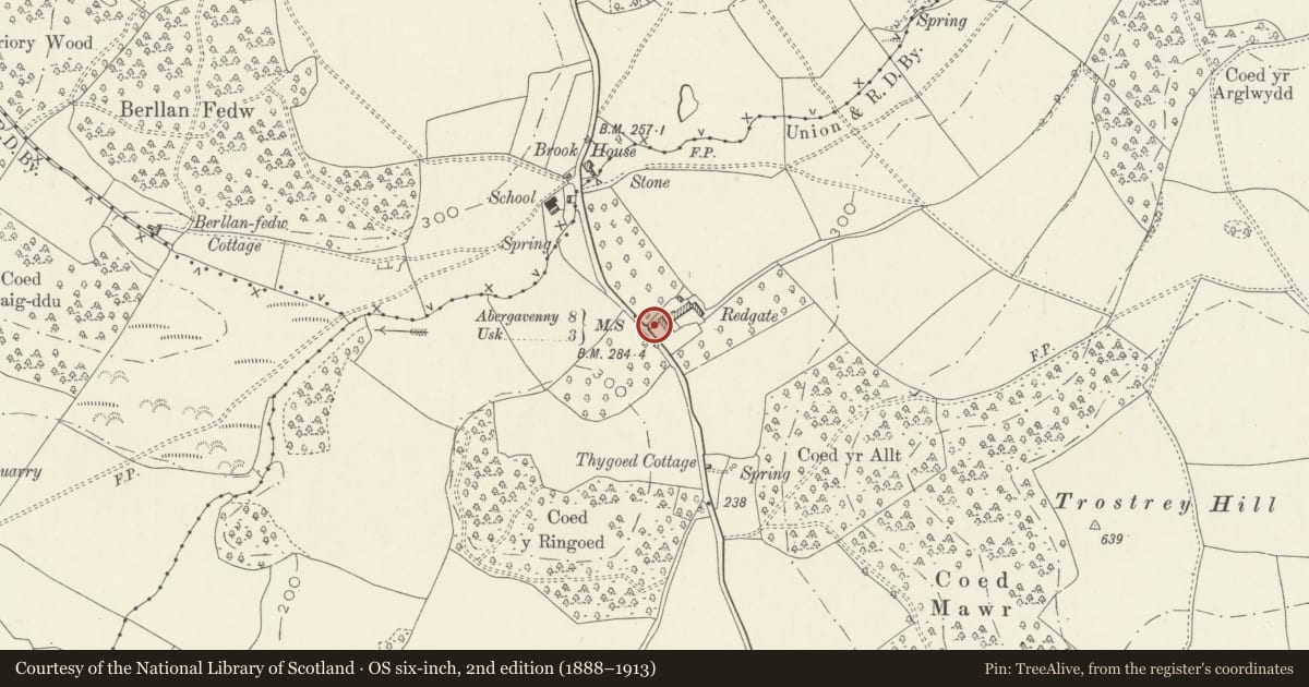
5 historical maps cover this location, the earliest the 1636 map "Cornubia : Devonia, Somersetus, Dorcestria, Wiltonia, Glocestria ..." (David Rumsey Map Collection, Stanford Libraries).
Historical maps covering this location
- 1636 · Cornubia : Devonia, Somersetus, Dorcestria, Wiltonia, Glocestria ... (David Rumsey Map Collection, Stanford Libraries)
- 1895 · Sheet 11. Ordnance Survey of England and Wales. (David Rumsey Map Collection, Stanford Libraries)
- 1898 · 232 Abergavenny (Hills) (David Rumsey Map Collection, Stanford Libraries)
- 1898 · 232 Abergavenny (Outline) (David Rumsey Map Collection, Stanford Libraries)
- 1913 · Sheet 102. Newport. (David Rumsey Map Collection, Stanford Libraries)
Cadw's description
Location
Situated some 500m S of Bettws Newydd, on E side of lane.
History
Front garden walls and low front wall with railings and gates. A date of 1710 on iron flag finial to right of front wall. Front wall appears to have been rebuilt, reusing old railings. WT initial does not appear to relate to owners in early C18, whose surname was Arthur.
Exterior
Front garden walls and railings. Rubble stone side walls about 2m high, and low front wall of rendered stone and brick, apparently C20. Iron low railings with urn stanchions and centre iron pedestrian gates probably reused or reset. At SW angle is brick and stone pier, possibly rebuilt in C20 with reused stone ball finial on moulded base with iron pierced flag marked WT 1710.
Reason for designation
Included for group value with Redgate, and for unusual 1710 iron flag finial.
Nearby in the register
- Redgate FarmhouseDomesticunder 1 mi
- Cross in Bettws Newydd ChurchyardReligious, Ritual and Funeraryunder 1 mi
- Bettws Newydd Churchyard Cross-BaseCrossunder 1 mi
- Bettws LodgeDomesticunder 1 mi
Other entries of the same register within about three miles of this one, by straight line.