Cof Cymru: National Historic Assets of Wales · Wales
Cross in Bettws Newydd Churchyard
Llanarth, Monmouthshire, Wales
A Grade II listed building in Bettws Newydd, Usk, Llanarth, Monmouthshire, designated on 9 January 1956.
The record
- Designation
- Listed building, Grade II
- Broad class
- Religious, Ritual and Funerary
- Date of designation
- 9 January 1956
- Locality
- Bettws Newydd
- Town
- Usk
- Community
- Llanarth
- Unitary authority
- Monmouthshire
- Country
- Wales
- Coordinates
- 51.74780, -2.92522
- Cadw reference
- 1963
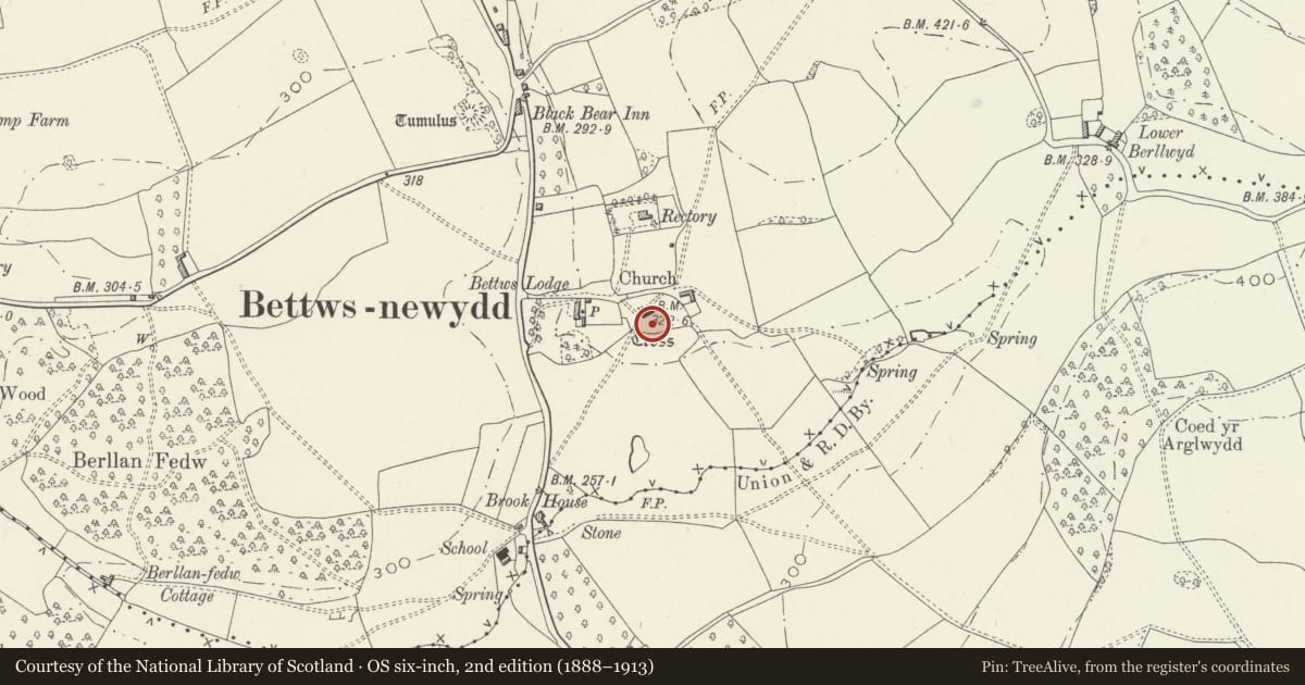
Slide toward Today to fade the historical sheet and see the modern map underneath.
David Rumsey Map Collection, Stanford LibrariesDavid Rumsey Map Collection, Stanford LibrariesDavid Rumsey Map Collection, Stanford LibrariesDavid Rumsey Map Collection, Stanford LibrariesDavid Rumsey Map Collection, Stanford Libraries
5 historical maps cover this location, the earliest the 1636 map "Cornubia : Devonia, Somersetus, Dorcestria, Wiltonia, Glocestria ..." (David Rumsey Map Collection, Stanford Libraries).
Historical maps covering this location
- 1636 · Cornubia : Devonia, Somersetus, Dorcestria, Wiltonia, Glocestria ... (David Rumsey Map Collection, Stanford Libraries)
- 1895 · Sheet 11. Ordnance Survey of England and Wales. (David Rumsey Map Collection, Stanford Libraries)
- 1898 · 232 Abergavenny (Hills) (David Rumsey Map Collection, Stanford Libraries)
- 1898 · 232 Abergavenny (Outline) (David Rumsey Map Collection, Stanford Libraries)
- 1913 · Sheet 102. Newport. (David Rumsey Map Collection, Stanford Libraries)
Cadw's description
Location
Situated in churchyard to S of Bettws Newydd church.
History
Medieval churchyard cross, the steps and base original, the cross replaced in 1879 in memory of Julia Stretton of Brynderwen, d 1878.
Exterior
Churchyard Cross. Medieval steps and single stone base. Three high steps, square plan, including single massive NE block on second step. Base has unusual tracery panels, much eroded, a quatrefoil to S, two quatrefoils to E, a cross to N. 1879 cross is of Forest of Dean stone, chamfered with broach stops.
Reason for designation
Included as a substantial medieval cross base with renewed cross, of group value with an outstanding church.
Nearby in the register
- Bettws Newydd Churchyard Cross-BaseCrossunder 1 mi
- Bettws Newydd ChurchReligious, Ritual and Funeraryunder 1 mi
- Mounting block at entry to Bettws Newydd churchyardTransportunder 1 mi
- Former Coach House at Bettws LodgeDomesticunder 1 mi
Other entries of the same register within about three miles of this one, by straight line.