Cof Cymru: National Historic Assets of Wales · Wales
Beulah Bridge
Puncheston, Pembrokeshire, Wales
A Grade II listed building in Little Newcastle, Haverfordwest, Puncheston, Pembrokeshire, designated on 30 November 2001.
The record
- Designation
- Listed building, Grade II
- Broad class
- Transport
- Date of designation
- 30 November 2001
- Locality
- Little Newcastle
- Town
- Haverfordwest
- Community
- Puncheston
- Unitary authority
- Pembrokeshire
- Country
- Wales
- Coordinates
- 51.91739, -4.93738
- Cadw reference
- 25870
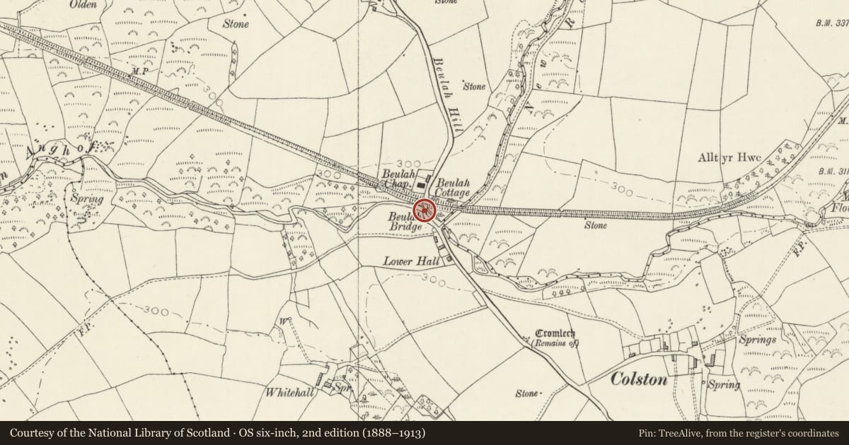
Slide toward Today to fade the historical sheet and see the modern map underneath.
David Rumsey Map Collection, Stanford LibrariesDavid Rumsey Map Collection, Stanford LibrariesDavid Rumsey Map Collection, Stanford LibrariesDavid Rumsey Map Collection, Stanford LibrariesDavid Rumsey Map Collection, Stanford Libraries
5 historical maps cover this location, the earliest the 1636 map "Cornubia : Devonia, Somersetus, Dorcestria, Wiltonia, Glocestria ..." (David Rumsey Map Collection, Stanford Libraries).
Historical maps covering this location
- 1636 · Cornubia : Devonia, Somersetus, Dorcestria, Wiltonia, Glocestria ... (David Rumsey Map Collection, Stanford Libraries)
- 1891 · Sheet 10. Ordnance Survey of England and Wales. . (David Rumsey Map Collection, Stanford Libraries)
- 1898 · 210 Cardigan (Hills) (David Rumsey Map Collection, Stanford Libraries)
- 1898 · 210 Cardigan (Outline) (David Rumsey Map Collection, Stanford Libraries)
- 1901 · Sheet 13. (David Rumsey Map Collection, Stanford Libraries)
Cadw's description
Location
Situated on the road from Little Newcastle to Colston, some 600m S of the centre of Little Newcastle village.
History
Small C19 road bridge over the Afon Glanrhyd.
Exterior
Road bridge, rubble stone, single arch with squared stone voussoirs and rubble stone parapet with coping stones set on edge.
Reason for designation
Included as an example of a small arched road bridge, of probably early C19 date.
Nearby in the register
- Colston Burial ChamberChambered Tombunder 1 mi
- Garn Turne Burial ChamberChambered Tombunder 1 mi
- Sealyham Rocks CampRathunder 1 mi
- Boundary stone at Garn TurneCivilunder 1 mi
Other entries of the same register within about three miles of this one, by straight line.