Cof Cymru: National Historic Assets of Wales · Wales
Viaduct at Morlais Junction East (partly in Llanedi community)
Grovesend and Waungron, Swansea, Wales
A Grade II listed building in Hendy, Grovesend and Waungron, Swansea, designated on 2 March 1998.
The record
- Designation
- Listed building, Grade II
- Broad class
- Transport
- Date of designation
- 2 March 1998
- Locality
- Hendy
- Community
- Grovesend and Waungron
- Unitary authority
- Swansea
- Country
- Wales
- Coordinates
- 51.70341, -4.05204
- Cadw reference
- 25866
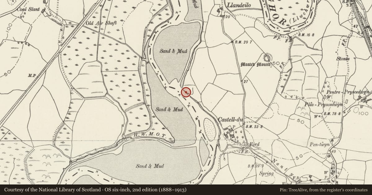
Slide toward Today to fade the historical sheet and see the modern map underneath.
David Rumsey Map Collection, Stanford LibrariesDavid Rumsey Map Collection, Stanford LibrariesDavid Rumsey Map Collection, Stanford LibrariesDavid Rumsey Map Collection, Stanford LibrariesDavid Rumsey Map Collection, Stanford Libraries
5 historical maps cover this location, the earliest the 1636 map "Cornubia : Devonia, Somersetus, Dorcestria, Wiltonia, Glocestria ..." (David Rumsey Map Collection, Stanford Libraries).
Historical maps covering this location
- 1636 · Cornubia : Devonia, Somersetus, Dorcestria, Wiltonia, Glocestria ... (David Rumsey Map Collection, Stanford Libraries)
- 1637 · The fourth table of England. Cornub. Devonia, Somerset etc. (David Rumsey Map Collection, Stanford Libraries)
- 1891 · Sheet 10. Ordnance Survey of England and Wales. . (David Rumsey Map Collection, Stanford Libraries)
- 1898 · 230 Ammanford (Hills) (David Rumsey Map Collection, Stanford Libraries)
- 1920 · Sheet 100. Llanelly. (David Rumsey Map Collection, Stanford Libraries)
Cadw's description
Location
Spanning the Afon Llwchwr approximately 1km S of Hendy, on the Glamorgan-Carmarthenshire border. Also in Llanedi community (Carmarthenshire).
Exterior
For the full description please see record number 19452
Nearby in the register
- Viaduct at Morlais Junction East (partly in Grovesend & Waungron community)Transportunder 1 mi
- Llandeilo Castle MoundMotteunder 1 mi
- Site of St Teilo's Old Parish Church, Llandeilo, Talybont (now removed to St Fagans)Churchunder 1 mi
- Hendy Castle MoundMotteunder 1 mi
Other entries of the same register within about three miles of this one, by straight line.