Cof Cymru: National Historic Assets of Wales · Wales
Lych Gate of St Tudno's Church
Llandudno, Conwy, Wales
A Grade II listed building in Pant yr Eglwys, Llandudno, Conwy, designated on 6 June 2001.
The record
- Designation
- Listed building, Grade II
- Broad class
- Religious, Ritual and Funerary
- Date of designation
- 6 June 2001
- Locality
- Pant yr Eglwys
- Town
- Llandudno
- Community
- Llandudno
- Unitary authority
- Conwy
- Country
- Wales
- Coordinates
- 53.33660, -3.84940
- Cadw reference
- 25271
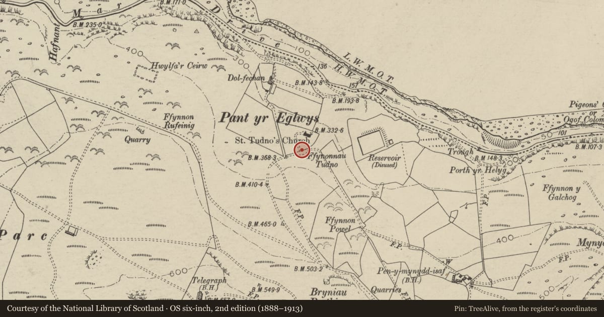
Slide toward Today to fade the historical sheet and see the modern map underneath.
David Rumsey Map Collection, Stanford LibrariesDavid Rumsey Map Collection, Stanford LibrariesDavid Rumsey Map Collection, Stanford LibrariesNational Library of ScotlandNational Library of Scotland
5 historical maps cover this location, the earliest the 1883 map "Watershed map England, Wales 3." (David Rumsey Map Collection, Stanford Libraries).
Historical maps covering this location
- 1883 · Watershed map England, Wales 3. (David Rumsey Map Collection, Stanford Libraries)
- 1885 · OS One-Inch (Hills) 1885-1903 (National Library of Scotland)
- 1899 · 94 Beaumaris (Hills) (David Rumsey Map Collection, Stanford Libraries)
- 1901 · Sheet 9 and 10. (David Rumsey Map Collection, Stanford Libraries)
- 1930 · OS Popular Edition 1919-1947 (National Library of Scotland)
Cadw's description
Location
In churchyard wall to SE of St Tudno's Church.
History
Dated 1897.
Exterior
Gabled lych-gate; slate roof. Grey stone. Broad pointed arches towards church and road. Wrought iron gates to road.
Reason for designation
Listed for group value with St Tudno's Church.
Nearby in the register
- Outdoor Pulpit at St Tudno's ChurchReligious, Ritual and Funeraryunder 1 mi
- Church of St TudnoReligious, Ritual and Funeraryunder 1 mi
- Cemetery ChapelReligious, Ritual and Funeraryunder 1 mi
- Hut Circle, Bryniau Poethion, Great OrmeUnenclosed hut circleunder 1 mi
Other entries of the same register within about three miles of this one, by straight line.