Cof Cymru: National Historic Assets of Wales · Wales
Milestone
Shirenewton, Monmouthshire, Wales
A Grade II listed building in Usk Road, Shirenewton, Monmouthshire, designated on 30 January 2001.
The record
- Designation
- Listed building, Grade II
- Broad class
- Transport
- Date of designation
- 30 January 2001
- Locality
- Usk Road
- Community
- Shirenewton
- Unitary authority
- Monmouthshire
- Country
- Wales
- Coordinates
- 51.65005, -2.77034
- Cadw reference
- 24715
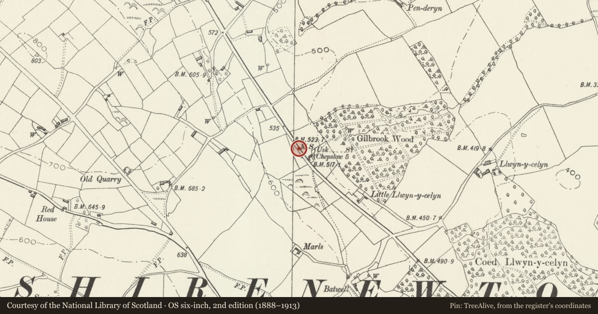
Slide toward Today to fade the historical sheet and see the modern map underneath.
David Rumsey Map Collection, Stanford LibrariesDavid Rumsey Map Collection, Stanford LibrariesDavid Rumsey Map Collection, Stanford LibrariesDavid Rumsey Map Collection, Stanford LibrariesDavid Rumsey Map Collection, Stanford Libraries
5 historical maps cover this location, the earliest the 1636 map "Cornubia : Devonia, Somersetus, Dorcestria, Wiltonia, Glocestria ..." (David Rumsey Map Collection, Stanford Libraries).
Historical maps covering this location
- 1636 · Cornubia : Devonia, Somersetus, Dorcestria, Wiltonia, Glocestria ... (David Rumsey Map Collection, Stanford Libraries)
- 1895 · Sheet 11. Ordnance Survey of England and Wales. (David Rumsey Map Collection, Stanford Libraries)
- 1897 · 250 Chepstow (Outline) (David Rumsey Map Collection, Stanford Libraries)
- 1905 · 250 Chepstow (Hills) (David Rumsey Map Collection, Stanford Libraries)
- 1913 · Sheet 102. Newport. (David Rumsey Map Collection, Stanford Libraries)
Cadw's description
Location
On the east side of the Usk Road (B4235), approx. 0.5 km from Shirenewton
History
A turnpike milestone erected in 1835 as a part of the Shirenewton Branch of the Chepstow to Abergavenny turnpike. This was built jointly by the Abergavenny and Chepstow Trusts and was opened in 1835. 'From the present turnpike road at Piercefield Lodge, towards the lower turnpike road leading from Usk to Monmouthshire at Gwernesney. The branch to be called the Shirenewton Branch, and should commence at Piercefield Gate and terminate at Gwernesney Church'. The trust was wound up in 1873 and taken over by the Chepstow Highway Board who later transferred it to the County Council.
Exterior
Limestone block with a chipped top. It is inscribed:
To HEREFORD 5 miles with USK 8 3/4 miles hidden.
Reason for designation
Included for its historic interest as a surviving milestone on the Chepstow to Usk turnpike which was opened in 1835.
Nearby in the register
- Llwyn-celyn FarmhouseDomesticunder 1 mi
- Barn at Llwyn-celyn FarmAgriculture and Subsistenceunder 1 mi
- MilestoneTransportunder 1 mi
- Newton LodgeDomestic1 mi
Other entries of the same register within about three miles of this one, by straight line.