Cof Cymru: National Historic Assets of Wales · Wales
Churchyard Cross in churchyard of Church of Saint Lawrence
Eglwyscummin, Carmarthenshire, Wales
A Grade II listed building in Marros, Whitland, Eglwyscummin, Carmarthenshire, designated on 12 January 2001.
The record
- Designation
- Listed building, Grade II
- Broad class
- Religious, Ritual and Funerary
- Date of designation
- 12 January 2001
- Locality
- Marros
- Town
- Whitland
- Community
- Eglwyscummin
- Unitary authority
- Carmarthenshire
- Country
- Wales
- Coordinates
- 51.75025, -4.59846
- Cadw reference
- 24496
Slide toward Today to fade the historical sheet and see the modern map underneath.
David Rumsey Map Collection, Stanford LibrariesDavid Rumsey Map Collection, Stanford LibrariesDavid Rumsey Map Collection, Stanford LibrariesDavid Rumsey Map Collection, Stanford LibrariesDavid Rumsey Map Collection, Stanford Libraries
5 historical maps cover this location, the earliest the 1608 map "(13) Cambriae Typus." (David Rumsey Map Collection, Stanford Libraries).
Historical maps covering this location
- 1608 · (13) Cambriae Typus. (David Rumsey Map Collection, Stanford Libraries)
- 1636 · Cornubia : Devonia, Somersetus, Dorcestria, Wiltonia, Glocestria ... (David Rumsey Map Collection, Stanford Libraries)
- 1637 · The fourth table of England. Cornub. Devonia, Somerset etc. (David Rumsey Map Collection, Stanford Libraries)
- 1830 · V.3:11-15:XV. Britisches Reich. A. Kon: England. b. Frstenthum Wales: Shire: 37-40 (David Rumsey Map Collection, Stanford Libraries)
- 1891 · Sheet 10. Ordnance Survey of England and Wales. . (David Rumsey Map Collection, Stanford Libraries)
Cadw's description
Location
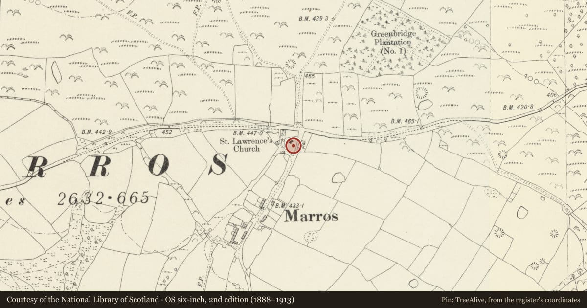
About 7m S of porch of Church of Saint Lawrence. Church is S of minor road from Pendine to Amroth approximately 3km W of Pendine.
History
Remnant of a medieval churchyard cross.
Exterior
Remnant of churchyard cross, small circular monolith stone base pierced for base of slim octagonal tapering shaft. The shaft is not a regular octagon but a chamfered rectangle in section.
Reason for designation
Included as the remnant of a medieval churchyard cross.
Nearby in the register
- Church of Saint LawrenceReligious, Ritual and Funeraryunder 1 mi
- The War Memorial, MarrosReligious, Ritual and Funeraryunder 1 mi
- Lime kiln SE of PwllIndustrialunder 1 mi
- Garness Farm, round barrow 400m to SW ofRound Barrowunder 1 mi
Other entries of the same register within about three miles of this one, by straight line.