Cof Cymru: National Historic Assets of Wales · Wales
Menai Bach
Cylch-y-Garn, Isle of Anglesey, Wales
A Grade II listed building in Rhydwyn, Cylch-y-Garn, Isle of Anglesey, designated on 27 November 2000.
The record
- Designation
- Listed building, Grade II
- Broad class
- Domestic
- Date of designation
- 27 November 2000
- Locality
- Rhydwyn
- Community
- Cylch-y-Garn
- Unitary authority
- Isle of Anglesey
- Country
- Wales
- Coordinates
- 53.37028, -4.53338
- Cadw reference
- 24432
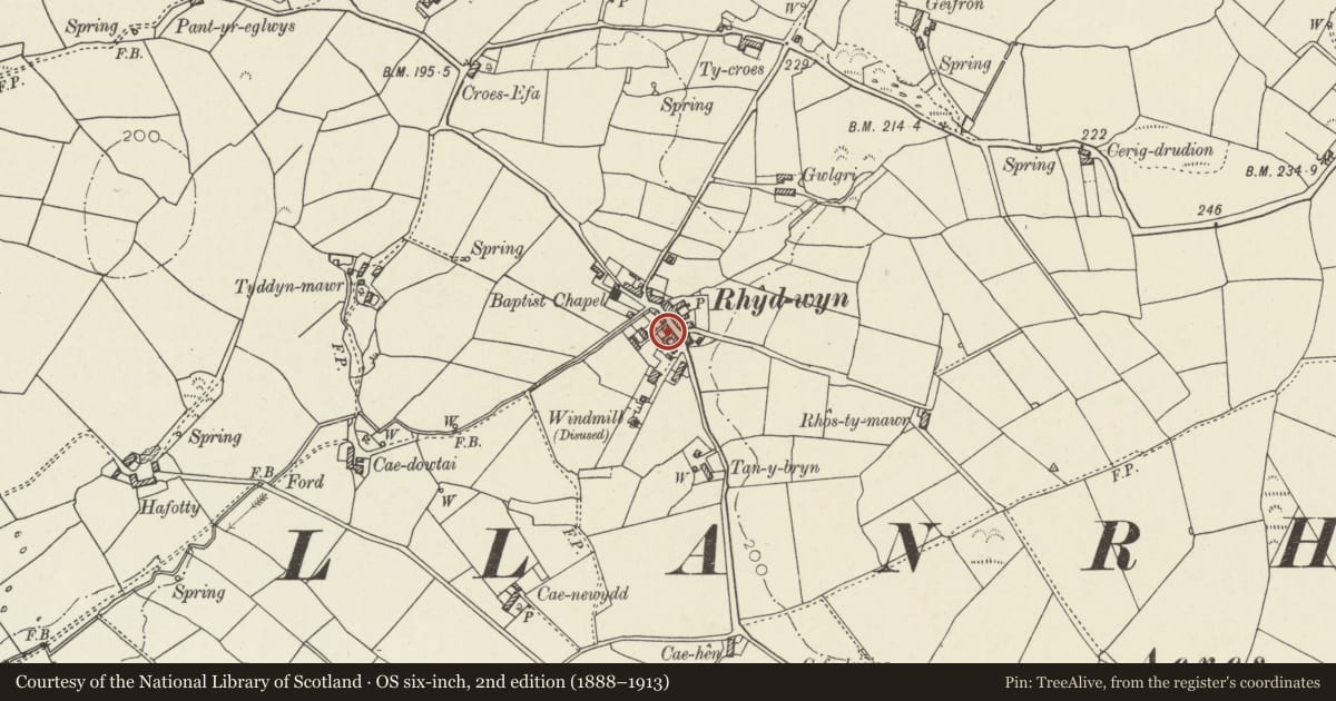
Slide toward Today to fade the historical sheet and see the modern map underneath.
David Rumsey Map Collection, Stanford LibrariesDavid Rumsey Map Collection, Stanford LibrariesDavid Rumsey Map Collection, Stanford LibrariesDavid Rumsey Map Collection, Stanford LibrariesDavid Rumsey Map Collection, Stanford Libraries
5 historical maps cover this location, the earliest the 1799 map "Ireland." (David Rumsey Map Collection, Stanford Libraries).
Historical maps covering this location
- 1799 · Ireland. (David Rumsey Map Collection, Stanford Libraries)
- 1883 · Watershed map England, Wales 3. (David Rumsey Map Collection, Stanford Libraries)
- 1899 · 93 Holyhead (Hills) (David Rumsey Map Collection, Stanford Libraries)
- 1901 · Sheet 9 and 10. (David Rumsey Map Collection, Stanford Libraries)
- 1919 · Sheet 41. Anglesey. (David Rumsey Map Collection, Stanford Libraries)
Cadw's description
Location
Located at the SW side of the main road in the centre of the village of Rhydwyn.
History
C19 terraced house; datestone offset to L of doorway of adjacent house reads: AD 1869.
Exterior
Menai Bach is the smaller of the 2 dwellings, located at the L (SE) end of the row. Single ground and first floor windows to the right, doorway to the L. The ground floor window is an 8-pane horned sash; the 1st floor window is without the vertical glazing bar and has 4 long narrow panes over 8.
Interior
Interior not inspected at the time of survey.
Reason for designation
Listed as a well-preserved mid C19 terraced house which, with the adjacent Menai and Pen Bont, forms a good village vernacular group.
Nearby in the register
- MenaiDomesticunder 1 mi
- Pen BontDomesticunder 1 mi
- Cae HenDomesticunder 1 mi
- Melin DrylliauIndustrialunder 1 mi
Other entries of the same register within about three miles of this one, by straight line.