Cof Cymru: National Historic Assets of Wales · Wales
Ynys Bridge (partly in Pentyrch community)
Tongwynlais, Cardiff, Wales
A Grade II listed building in Tongwynlais, Cardiff, designated on 31 January 2000.
The record
- Designation
- Listed building, Grade II
- Broad class
- Transport
- Date of designation
- 31 January 2000
- Locality
- Tongwynlais
- Town
- Cardiff
- Community
- Tongwynlais
- Unitary authority
- Cardiff
- Country
- Wales
- Coordinates
- 51.53528, -3.26042
- Cadw reference
- 24398
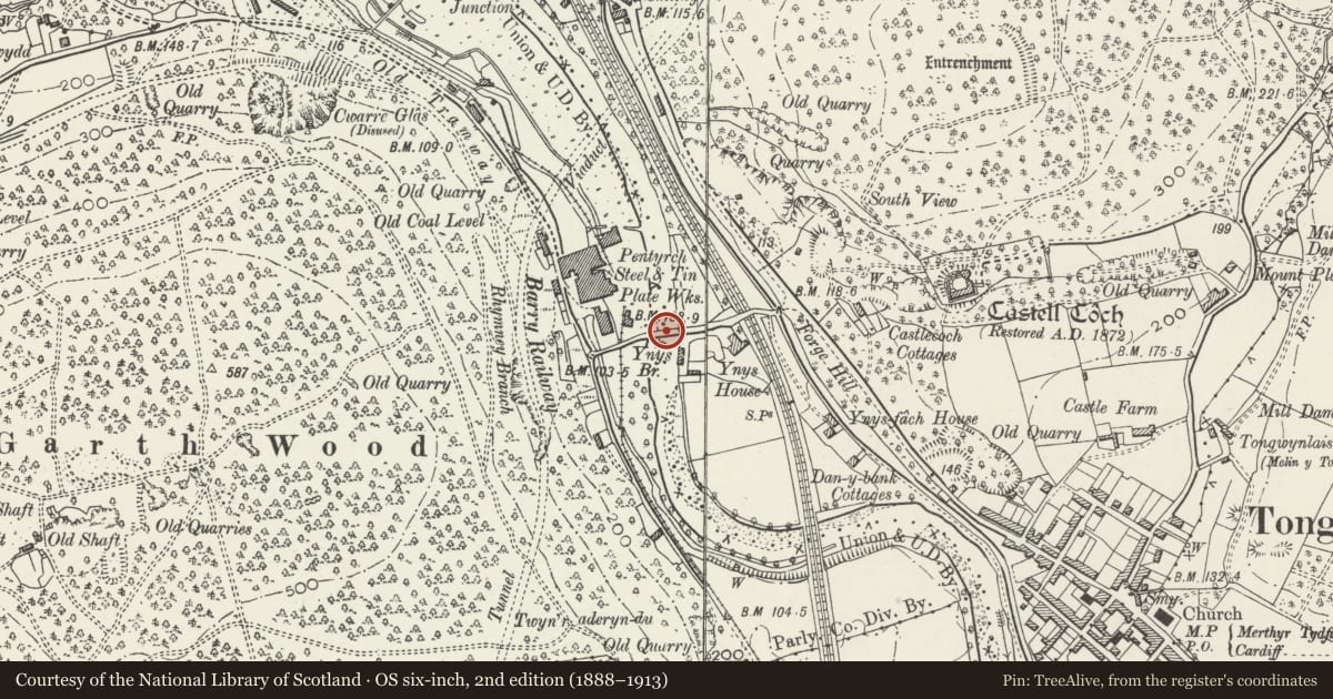
Slide toward Today to fade the historical sheet and see the modern map underneath.
David Rumsey Map Collection, Stanford LibrariesNational Library of ScotlandDavid Rumsey Map Collection, Stanford LibrariesDavid Rumsey Map Collection, Stanford LibrariesDavid Rumsey Map Collection, Stanford Libraries
5 historical maps cover this location, the earliest the 1636 map "Cornubia : Devonia, Somersetus, Dorcestria, Wiltonia, Glocestria ..." (David Rumsey Map Collection, Stanford Libraries).
Historical maps covering this location
- 1636 · Cornubia : Devonia, Somersetus, Dorcestria, Wiltonia, Glocestria ... (David Rumsey Map Collection, Stanford Libraries)
- 1637 · The fourth table of England. Cornub. Devonia, Somerset etc. (David Rumsey Map Collection, Stanford Libraries)
- 1865 · England and Wales. England No. 6. (David Rumsey Map Collection, Stanford Libraries)
- 1895 · Sheet 11. Ordnance Survey of England and Wales. (David Rumsey Map Collection, Stanford Libraries)
- 1963 · Map No. 1 - Local Government Commission for Wales : [Definitive maps showing proposed… (National Library of Scotland)
Cadw's description
Location
Between Tongywnlais and Garth Wood now by-passed by a new bridge close by to N.
Exterior
See record 22823 in Pentyrch Community for full description of this bridge.
Nearby in the register
- Ynys BridgeTransportunder 1 mi
- Castell CochDefenceunder 1 mi
- Castell CochCastleunder 1 mi
- Nos 1-5 Wyndham Street (consec)Domesticunder 1 mi
Other entries of the same register within about three miles of this one, by straight line.