Cof Cymru: National Historic Assets of Wales · Wales
Footbridge on SW side of Eglwys Oen Duw churchyard
Treflys, Powys, Wales
A Grade II listed building in Beulah, Treflys, Powys, designated on 30 October 2000.
The record
- Designation
- Listed building, Grade II
- Broad class
- Religious, Ritual and Funerary
- Date of designation
- 30 October 2000
- Locality
- Beulah
- Community
- Treflys
- Unitary authority
- Powys
- Country
- Wales
- Coordinates
- 52.15623, -3.59012
- Cadw reference
- 24350
Slide toward Today to fade the historical sheet and see the modern map underneath.
David Rumsey Map Collection, Stanford LibrariesDavid Rumsey Map Collection, Stanford LibrariesDavid Rumsey Map Collection, Stanford LibrariesDavid Rumsey Map Collection, Stanford LibrariesDavid Rumsey Map Collection, Stanford Libraries
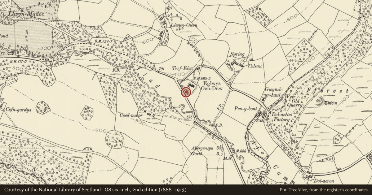
5 historical maps cover this location, the earliest the 1608 map "(13) Cambriae Typus." (David Rumsey Map Collection, Stanford Libraries).
Historical maps covering this location
- 1608 · (13) Cambriae Typus. (David Rumsey Map Collection, Stanford Libraries)
- 1637 · Particular description of Wales. Cambria seu Wallia (David Rumsey Map Collection, Stanford Libraries)
- 1830 · V.3:11-15:XV. Britisches Reich. A. Kon: England. b. Frstenthum Wales: Shire: 37-40 (David Rumsey Map Collection, Stanford Libraries)
- 1899 · 196 Builth (Hills) (David Rumsey Map Collection, Stanford Libraries)
- 1901 · Sheet 14. (David Rumsey Map Collection, Stanford Libraries)
Cadw's description
Location
On the SW side of the church.
History
Probably built in 1866 and contemporary with the church.
Exterior
A small single-carriageway bridge of coursed rock-faced stone, ramped to the centre with low coped parapets. It has a pointed arch with voussoirs.
Reason for designation
Listed for group value with Eglwys Oen Duw.
Nearby in the register
- Eglwys Oen DuwReligious, Ritual and Funeraryunder 1 mi
- Milestone SE of Eglwys Oen DuwCommunicationsunder 1 mi
- Fforest Castle MoundMotteunder 1 mi
- The Old VicarageDomesticunder 1 mi
Other entries of the same register within about three miles of this one, by straight line.