Cof Cymru: National Historic Assets of Wales · Wales
Bodegryn
Llanegryn, Gwynedd, Wales
A Grade II listed building in Llanegryn, Tywyn, Gwynedd, designated on 26 July 2000.
The record
- Designation
- Listed building, Grade II
- Broad class
- Domestic
- Date of designation
- 26 July 2000
- Locality
- Llanegryn
- Town
- Tywyn
- Community
- Llanegryn
- Unitary authority
- Gwynedd
- Country
- Wales
- Coordinates
- 52.62832, -4.06853
- Cadw reference
- 23764
Slide toward Today to fade the historical sheet and see the modern map underneath.
David Rumsey Map Collection, Stanford LibrariesDavid Rumsey Map Collection, Stanford LibrariesDavid Rumsey Map Collection, Stanford LibrariesDavid Rumsey Map Collection, Stanford LibrariesLlyfrgell Genedlaethol Cymru – The National Library of Wales
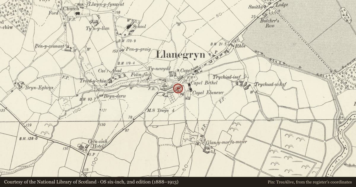
5 historical maps cover this location, the earliest the 1795 map "To Sir Watkin Williams-Wynn Bart ... the map of the six counties of North Wales is most humbly inscribed by his obedient humble servant" (Llyfrgell Genedlaethol Cymru – The National Library of Wales).
Historical maps covering this location
- 1795 · To Sir Watkin Williams-Wynn Bart ... the map of the six counties of North Wales is most… (Llyfrgell Genedlaethol Cymru – The National Library of Wales)
- 1883 · Watershed map England, Wales 3. (David Rumsey Map Collection, Stanford Libraries)
- 1896 · Sheet 7. Ordnance Survey of England and Wales. (David Rumsey Map Collection, Stanford Libraries)
- 1899 · 149 Barmouth (Hills) (David Rumsey Map Collection, Stanford Libraries)
- 1901 · Sheet 9 and 10. (David Rumsey Map Collection, Stanford Libraries)
Cadw's description
Location
The house is built in a row, directly on to the village street, at the E end of the village.
History
The house was probably built in the late C18 or early C19, at a time the village was taking on its nuclear character.
Exterior
Built in large roughly squared stone rubble with a slate roof between part-external gable stacks. Three storeys, 3 window bays. On the ground floor a central entrance consisting of a recessed part-glazed door with overlight, above which is an open pediment on console brackets. To either side, large canted late C19 bay windows with 4-pane sashes and a flat lead roof and cornice. The first floor has three 16-pane unhorned sash windows, the opening having stone lintels, and three similar but 12-pane single sash windows to the attic floor directly under the boxed eaves.
Reason for designation
Included as a fine late C18-early C19 house of exceptional scale for its village location.
Nearby in the register
- Barn at Tynewydd, adjoining Rhine CottageDomesticunder 1 mi
- Rhine CottageDomesticunder 1 mi
- Monument to Parch. Hugh OwenCommemorativeunder 1 mi
- Capel Bethel, with vestry and front railed forecourtReligious, Ritual and Funeraryunder 1 mi
Other entries of the same register within about three miles of this one, by straight line.