Cof Cymru: National Historic Assets of Wales · Wales
Community Education Centre, including attached railings & Gates
Stow Hill, Newport, Wales
A Grade II listed building in Stow Hill, Newport, designated on 31 March 2000.
The record
- Designation
- Listed building, Grade II
- Broad class
- Education
- Date of designation
- 31 March 2000
- Community
- Stow Hill
- Unitary authority
- Newport
- Country
- Wales
- Coordinates
- 51.58526, -2.99624
- Cadw reference
- 23105
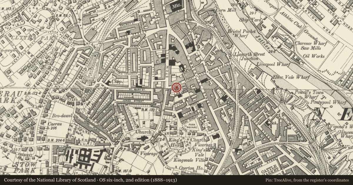
Slide toward Today to fade the historical sheet and see the modern map underneath.
David Rumsey Map Collection, Stanford LibrariesDavid Rumsey Map Collection, Stanford LibrariesDavid Rumsey Map Collection, Stanford LibrariesDavid Rumsey Map Collection, Stanford LibrariesDavid Rumsey Map Collection, Stanford Libraries
5 historical maps cover this location, the earliest the 1636 map "Cornubia : Devonia, Somersetus, Dorcestria, Wiltonia, Glocestria ..." (David Rumsey Map Collection, Stanford Libraries).
Historical maps covering this location
- 1636 · Cornubia : Devonia, Somersetus, Dorcestria, Wiltonia, Glocestria ... (David Rumsey Map Collection, Stanford Libraries)
- 1865 · England and Wales. England No. 6. (David Rumsey Map Collection, Stanford Libraries)
- 1895 · Sheet 11. Ordnance Survey of England and Wales. (David Rumsey Map Collection, Stanford Libraries)
- 1906 · 249 Newport (Hills) (David Rumsey Map Collection, Stanford Libraries)
- 1913 · Sheet 102. Newport. (David Rumsey Map Collection, Stanford Libraries)
Cadw's description
Location
About 40 m from junction with Stow Hill.
History
Circa 1900; former School of Art.
Exterior
Free Renaissance style. Red brick with brick pilasters and friezes; red sandstone dressings; slate roofs. Two storeys plus attic over basement. Ground slopes steeply to L. Three bays with gables to end bays, and hipped dormer to centre. On first floor, in L bay, tripartite mullion and transom window has central arched light which breaks up into gable; to R, central and R bays each have two-light mullion and transom window with elliptical head. On ground floor, similar window in L bay, pair of these in central bay, and to R, round-arched doorway with shallow hood corbelled out on relief corbels. Wrought -iron gates; double-leaf panelled and glazed doors with stained glass overlight. To L, where ground falls, round-headed doorway to basement. To L again, attached railings and gates.
Interior
Entrance hall with grand staircase with stone balusters.
Reason for designation
Good late C19 educational building.
Nearby in the register
- 37 Stow HillDomesticunder 1 mi
- 35 Stow HillDomesticunder 1 mi
- 31 Stow Hill, including forecourt walls, gatepiers, and railings.Domesticunder 1 mi
- St Woolos County Primary School, including wall and railingsEducationunder 1 mi
Other entries of the same register within about three miles of this one, by straight line.