Cof Cymru: National Historic Assets of Wales · Wales
35 Stow Hill
Stow Hill, Newport, Wales
A Grade II listed building in Stow Hill, Newport, designated on 7 July 1999.
The record
- Designation
- Listed building, Grade II
- Broad class
- Domestic
- Date of designation
- 7 July 1999
- Community
- Stow Hill
- Unitary authority
- Newport
- Country
- Wales
- Coordinates
- 51.58577, -2.99672
- Cadw reference
- 21965
Slide toward Today to fade the historical sheet and see the modern map underneath.
David Rumsey Map Collection, Stanford LibrariesDavid Rumsey Map Collection, Stanford LibrariesDavid Rumsey Map Collection, Stanford LibrariesDavid Rumsey Map Collection, Stanford LibrariesDavid Rumsey Map Collection, Stanford Libraries
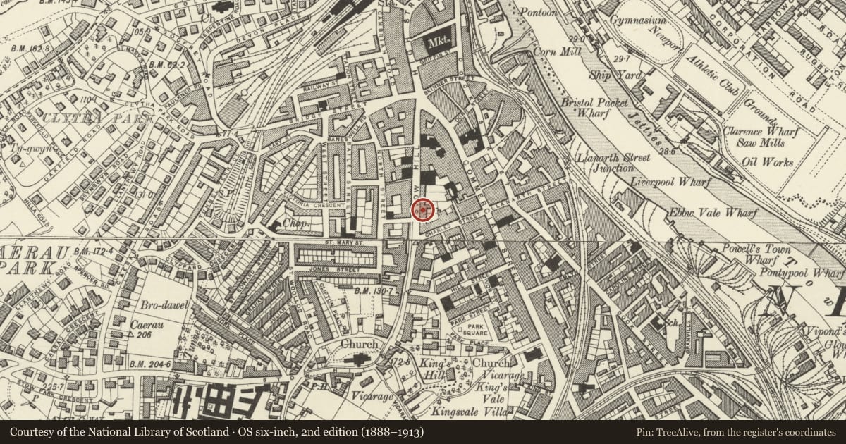
5 historical maps cover this location, the earliest the 1636 map "Cornubia : Devonia, Somersetus, Dorcestria, Wiltonia, Glocestria ..." (David Rumsey Map Collection, Stanford Libraries).
Historical maps covering this location
- 1636 · Cornubia : Devonia, Somersetus, Dorcestria, Wiltonia, Glocestria ... (David Rumsey Map Collection, Stanford Libraries)
- 1865 · England and Wales. England No. 6. (David Rumsey Map Collection, Stanford Libraries)
- 1895 · Sheet 11. Ordnance Survey of England and Wales. (David Rumsey Map Collection, Stanford Libraries)
- 1906 · 249 Newport (Hills) (David Rumsey Map Collection, Stanford Libraries)
- 1913 · Sheet 102. Newport. (David Rumsey Map Collection, Stanford Libraries)
Cadw's description
Location
Almost opposite junction with Havelock Street.
History
Late C18/early C19 house, with ground floor bay windows added probably later C19.
Exterior
Three storey, 3 window house. Roughcast render, slate roof. Three 9-pane sash windows to top floor; on first floor,three 12-pane sashes. On ground floor, central doorway with pedimented doorcase has splayed bay window to each side.
Reason for designation
Listed as a well-preserved late C18/early C19 middle-class house on what was once one of Newport's most prestigious residential streets. Group value with No 37, to R.
Nearby in the register
- 37 Stow HillDomesticunder 1 mi
- 31 Stow Hill, including forecourt walls, gatepiers, and railings.Domesticunder 1 mi
- 29 Stow HillDomesticunder 1 mi
- 27 Stow HillDefenceunder 1 mi
Other entries of the same register within about three miles of this one, by straight line.