Cof Cymru: National Historic Assets of Wales · Wales
Ty Ffrancon
Llanllechid, Gwynedd, Wales
A Grade II listed building in Tyn-y-maes, Bangor, Llanllechid, Gwynedd, designated on 9 March 2000.
The record
- Designation
- Listed building, Grade II
- Broad class
- Domestic
- Date of designation
- 9 March 2000
- Locality
- Tyn-y-maes
- Town
- Bangor
- Community
- Llanllechid
- Unitary authority
- Gwynedd
- Country
- Wales
- Coordinates
- 53.15382, -4.04172
- Cadw reference
- 22942
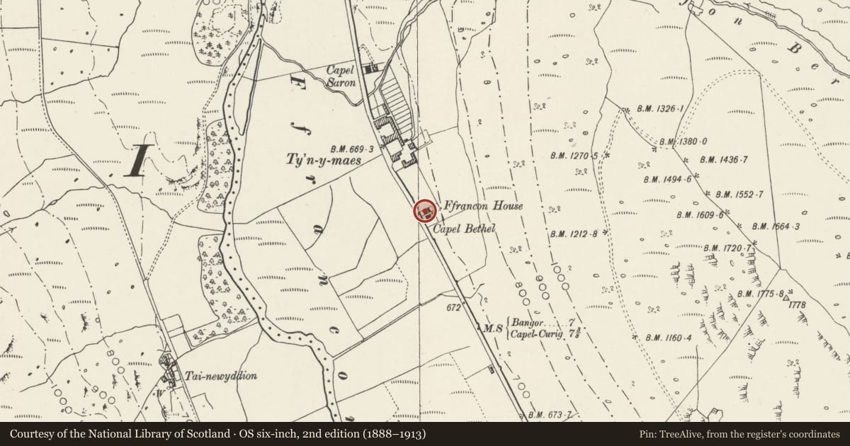
Slide toward Today to fade the historical sheet and see the modern map underneath.
David Rumsey Map Collection, Stanford LibrariesDavid Rumsey Map Collection, Stanford LibrariesDavid Rumsey Map Collection, Stanford LibrariesDavid Rumsey Map Collection, Stanford LibrariesDavid Rumsey Map Collection, Stanford Libraries
5 historical maps cover this location, the earliest the 1896 map "Sheet 7. Ordnance Survey of England and Wales." (David Rumsey Map Collection, Stanford Libraries).
Historical maps covering this location
- 1896 · Sheet 7. Ordnance Survey of England and Wales. (David Rumsey Map Collection, Stanford Libraries)
- 1899 · 106 Bangor (Hills) (David Rumsey Map Collection, Stanford Libraries)
- 1899 · 106 Bangor (Outline) (David Rumsey Map Collection, Stanford Libraries)
- 1901 · Sheet 9 and 10. (David Rumsey Map Collection, Stanford Libraries)
- 1919 · Sheet 41. Anglesey. (David Rumsey Map Collection, Stanford Libraries)
Cadw's description
Location
Situated immediately to north of Capel Bethel; low rubblestone wall to front breached by vehicular access.
History
Built in the 1880s as minister's house to replace the domestic accommodation at the back of the adjoining Capel Bethel. This former manse is now a private house.
Exterior
2-storey building of rendered rubblestone; slate roof. Symmetrical 3-window front; 4-pane sashes and central entrance comprising 4-panel door under latticed timber porch with hipped slate roof; integral end stacks.
Interior
Plain late C19 interior retains 4-panel doors.
Reason for designation
Included as late C19 manse retaining much original detailing intact; strong group value with adjoining chapel.
Nearby in the register
- Capel BethelReligious, Ritual and Funeraryunder 1 mi
- Pont y Ceunant (partly in Llandygai community)Transportunder 1 mi
- Pont y Ceunant (partly in Llanllechid community)Transportunder 1 mi
- Slate fencing, rubblestone walling and privies at CeunantDomesticunder 1 mi
Other entries of the same register within about three miles of this one, by straight line.