Cof Cymru: National Historic Assets of Wales · Wales
Pont y Ceunant (partly in Llandygai community)
Llanllechid, Gwynedd, Wales
A Grade II listed building in Tyn-y-maes, Llanllechid, Gwynedd, designated on 9 March 2000.
The record
- Designation
- Listed building, Grade II
- Broad class
- Transport
- Date of designation
- 9 March 2000
- Locality
- Tyn-y-maes
- Community
- Llanllechid
- Unitary authority
- Gwynedd
- Country
- Wales
- Coordinates
- 53.15818, -4.04615
- Cadw reference
- 22974
Slide toward Today to fade the historical sheet and see the modern map underneath.
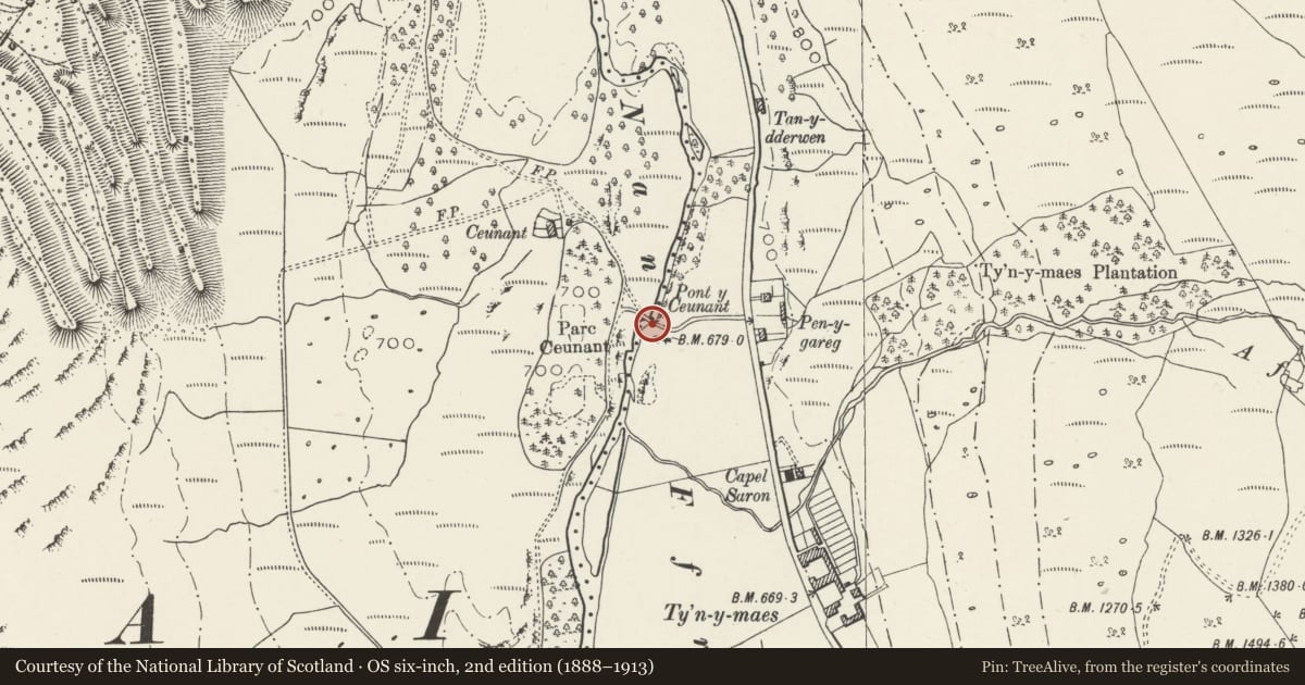
David Rumsey Map Collection, Stanford LibrariesDavid Rumsey Map Collection, Stanford LibrariesDavid Rumsey Map Collection, Stanford LibrariesDavid Rumsey Map Collection, Stanford LibrariesDavid Rumsey Map Collection, Stanford Libraries
5 historical maps cover this location, the earliest the 1896 map "Sheet 7. Ordnance Survey of England and Wales." (David Rumsey Map Collection, Stanford Libraries).
Historical maps covering this location
- 1896 · Sheet 7. Ordnance Survey of England and Wales. (David Rumsey Map Collection, Stanford Libraries)
- 1899 · 106 Bangor (Hills) (David Rumsey Map Collection, Stanford Libraries)
- 1899 · 106 Bangor (Outline) (David Rumsey Map Collection, Stanford Libraries)
- 1901 · Sheet 9 and 10. (David Rumsey Map Collection, Stanford Libraries)
- 1919 · Sheet 41. Anglesey. (David Rumsey Map Collection, Stanford Libraries)
Cadw's description
Location
Spanning the Afon Ogwen near the point where the minor road through Nant Ffrancon meets the A 5 at Tyn-y-maes.
History
Constructed on the course of the so-called "old road" along the remote Ogwen Valley, an improvement by the Penrhyn Estate in 1790-1 of what Thomas Pennant had described as "the most dreadfull horsepath in Wales". This road was effectively superseded as the main through route along the valley by the building of the turnpike road (the line of the present A5) on its eastern side in 1802. The Afon Ogwen here forms the boundary with the Llandygai community.
Exterior
Roughly coursed rubblestone with stone-on-edge coping. Twin arches, both round-headed with voussoirs and arch-rings.
Reason for designation
Included as a small late C18 bridge of traditional vernacular character, important also for the evidence it provides of improving transport and communications at this period.
Nearby in the register
- Pont y Ceunant (partly in Llanllechid community)Transportunder 1 mi
- Slate fencing, rubblestone walling and privies at CeunantDomesticunder 1 mi
- Outbuildings at CeunantAgriculture and Subsistenceunder 1 mi
- CeunantDomesticunder 1 mi
Other entries of the same register within about three miles of this one, by straight line.