Cof Cymru: National Historic Assets of Wales · Wales
Vennaway lime kiln
Pennard, Swansea, Wales
A Grade II listed building in Vennaway, Swansea, Pennard, designated on 10 February 2000.
The record
- Designation
- Listed building, Grade II
- Broad class
- Industrial
- Date of designation
- 10 February 2000
- Locality
- Vennaway
- Town
- Swansea
- Community
- Pennard
- Unitary authority
- Swansea
- Country
- Wales
- Coordinates
- 51.58568, -4.07462
- Cadw reference
- 22837
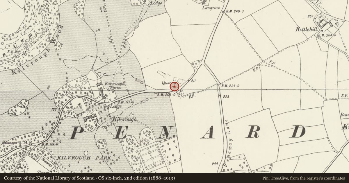
Slide toward Today to fade the historical sheet and see the modern map underneath.
David Rumsey Map Collection, Stanford LibrariesDavid Rumsey Map Collection, Stanford LibrariesDavid Rumsey Map Collection, Stanford LibrariesDavid Rumsey Map Collection, Stanford LibrariesDavid Rumsey Map Collection, Stanford Libraries
5 historical maps cover this location, the earliest the 1636 map "Cornubia : Devonia, Somersetus, Dorcestria, Wiltonia, Glocestria ..." (David Rumsey Map Collection, Stanford Libraries).
Historical maps covering this location
- 1636 · Cornubia : Devonia, Somersetus, Dorcestria, Wiltonia, Glocestria ... (David Rumsey Map Collection, Stanford Libraries)
- 1865 · England and Wales. England No. 6. (David Rumsey Map Collection, Stanford Libraries)
- 1891 · Sheet 10. Ordnance Survey of England and Wales. . (David Rumsey Map Collection, Stanford Libraries)
- 1897 · 247 Swansea (Hills) (David Rumsey Map Collection, Stanford Libraries)
- 1920 · Sheet 100. Llanelly. (David Rumsey Map Collection, Stanford Libraries)
Cadw's description
Location
Approximately 0.8km N of Pennard church and on N side of A4118 SW of Vennaway House.
History
Built in the third quarter of the C19 and first shown on the 1877 Ordnance Survey.
Exterior
Lime kiln of battered rubble stone walls and tooled dressings, built into a bank to facilitate charging at the top of the kiln and drawing the lime from the bottom. The side walls and top are largely covered by vegetation. The draw arch on the S side facing the road is elliptical and defines a vaulted recess, at the back of which is a draw hole under an iron lintel. The recess has large sockets in the side walls. Behind, to the R, is an attached battered rubble stone revetment. The kiln chamber, visible from the top, is circular and stone-lined, with some stones missing on the rear side.
Reason for designation
Listed for its industrial archaeological interest as an especially well-preserved lime kiln adjacent to a former quarry, and representing a once important local industry.
Nearby in the register
- Kilvrough LodgeDomesticunder 1 mi
- Entrance gates and gate piers to Kilvrough ManorGardens, Parks and Urban Spacesunder 1 mi
- Stable Court at Kilvrough ManorDomesticunder 1 mi
- Langrove CottageDomesticunder 1 mi
Other entries of the same register within about three miles of this one, by straight line.