Cof Cymru: National Historic Assets of Wales · Wales
Dol-y-dderwin
Corris, Gwynedd, Wales
A Grade II listed building in Pantperthog, Machynlleth, Corris, Gwynedd, designated on 6 December 1999.
The record
- Designation
- Listed building, Grade II
- Broad class
- Domestic
- Date of designation
- 6 December 1999
- Locality
- Pantperthog
- Town
- Machynlleth
- Community
- Corris
- Unitary authority
- Gwynedd
- Country
- Wales
- Coordinates
- 52.61057, -3.84611
- Cadw reference
- 22721
Slide toward Today to fade the historical sheet and see the modern map underneath.
David Rumsey Map Collection, Stanford LibrariesDavid Rumsey Map Collection, Stanford LibrariesDavid Rumsey Map Collection, Stanford LibrariesLlyfrgell Genedlaethol Cymru – The National Library of WalesDavid Rumsey Map Collection, Stanford Libraries
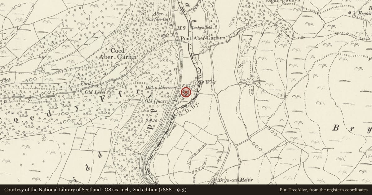
5 historical maps cover this location, the earliest the 1795 map "To Sir Watkin Williams-Wynn Bart ... the map of the six counties of North Wales is most humbly inscribed by his obedient humble servant" (Llyfrgell Genedlaethol Cymru – The National Library of Wales).
Historical maps covering this location
- 1795 · To Sir Watkin Williams-Wynn Bart ... the map of the six counties of North Wales is most… (Llyfrgell Genedlaethol Cymru – The National Library of Wales)
- 1830 · V.3:11-15:XV. Britisches Reich. A. Kon: England. b. Frstenthum Wales: Shire: 37-40 (David Rumsey Map Collection, Stanford Libraries)
- 1883 · Watershed map England, Wales 3. (David Rumsey Map Collection, Stanford Libraries)
- 1899 · 149 Barmouth (Hills) (David Rumsey Map Collection, Stanford Libraries)
- 1901 · Sheet 9 and 10. (David Rumsey Map Collection, Stanford Libraries)
Cadw's description
Location
The house stands back from the main road to Machynlleth, 1.609 km N of Pont ar Ddyfi.
History
Built probably in the late C18 or early C19, as a gentry farmhouse.
Exterior
Built of roughly coursed rubble and a slate roof with blue brick stacks on the gable ends. Three storeys, double pile plan, the main front, facing S, of 3 window bays with an asymmetrically placed boarded door, not aligned with upper windows. 9-pane sash window to the left of the door. 12-paned sashes in the right bay of the ground floor and three similar window on the first floor, some horned. 9-paned single sash windows to the attic floor. All openings have red sandstone lintels. The N front is also of 3 bays, with a central part-glazed door and overlight, and horned sash windows.
Interior
Not accessible at the time of inspection.
Reason for designation
Included as a good gentry farmhouse, in which Georgian-style detailing is superimposed on a more irregular vernacular plan, with marked asymmetry.
Nearby in the register
- Pont Felin y ffridd (partly in Corris Community)No class recordedunder 1 mi
- Pont Felin-y-ffriddTransportunder 1 mi
- Turnpike CottageTransportunder 1 mi
- LliwdyDomesticunder 1 mi
Other entries of the same register within about three miles of this one, by straight line.