Cof Cymru: National Historic Assets of Wales · Wales
Pont Felin-gât
Llanarthney, Carmarthenshire, Wales
A Grade II listed building in Middleton, Carmarthen, Llanarthney, Carmarthenshire, designated on 19 May 1999.
The record
- Designation
- Listed building, Grade II
- Broad class
- Transport
- Date of designation
- 19 May 1999
- Locality
- Middleton
- Town
- Carmarthen
- Community
- Llanarthney
- Unitary authority
- Carmarthenshire
- Country
- Wales
- Coordinates
- 51.84886, -4.14007
- Cadw reference
- 21758
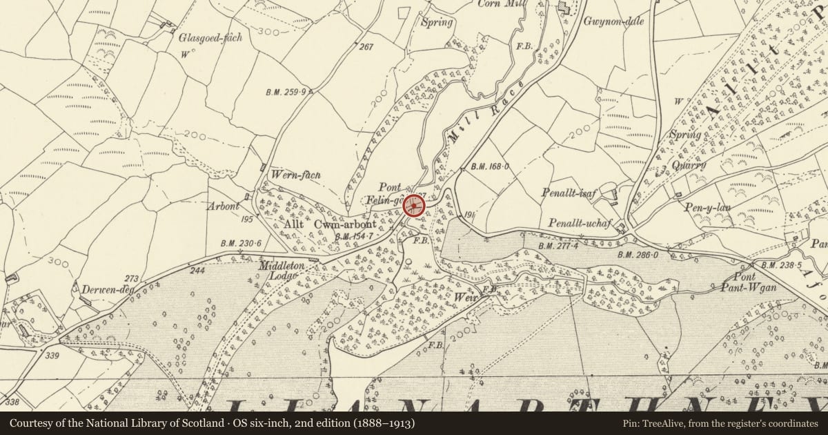
Slide toward Today to fade the historical sheet and see the modern map underneath.
David Rumsey Map Collection, Stanford LibrariesDavid Rumsey Map Collection, Stanford LibrariesDavid Rumsey Map Collection, Stanford LibrariesDavid Rumsey Map Collection, Stanford LibrariesDavid Rumsey Map Collection, Stanford Libraries
5 historical maps cover this location, the earliest the 1636 map "Cornubia : Devonia, Somersetus, Dorcestria, Wiltonia, Glocestria ..." (David Rumsey Map Collection, Stanford Libraries).
Historical maps covering this location
- 1636 · Cornubia : Devonia, Somersetus, Dorcestria, Wiltonia, Glocestria ... (David Rumsey Map Collection, Stanford Libraries)
- 1860 · 41. Caermathen. (David Rumsey Map Collection, Stanford Libraries)
- 1891 · Sheet 10. Ordnance Survey of England and Wales. . (David Rumsey Map Collection, Stanford Libraries)
- 1898 · 230 Ammanford (Hills) (David Rumsey Map Collection, Stanford Libraries)
- 1901 · Sheet 14. (David Rumsey Map Collection, Stanford Libraries)
Cadw's description
Location
Near the North Lodge of Middleton Park, crossing the Afon Gwynon.
History
An architectural bridge evidently designed as part of the range of landscaping features of Middleton Park, and probably by S P Cockerell, the architect of the Hall. The bridge is indicated, unnamed, on Horner's estate plan of 1815. Sir William Paxton, for whom the Hall was completed in 1795, built a curative Bathing House at the nearby chalybeate spring and built several other picturesque water features in close proximity. The water-engineering design of the features was by Paxton's assistant James Grier, probably working in conjunction with Cockerell.
The bridge is evidently part of the same high-status development. The road it carries was part of the Three Commotts Turnpike system, and so the bridge probably replaces, or is a re-build of, an C18 utilitarian bridge by the turnpike company. The name is derived from the proximity of a sluice controlling the leat to Heol-fawr mill lower on the Afon Gwynon.
Exterior
A six-metre span bridge in axed sandstone masonry with ashlar dressings. The arch has triple keystones, linked to a bullnosed string course. Two blind spandrel circles. Rusticated piers carry the ends of the string course. Slightly stepped restored parapet. The two faces of the bridge have similar architectural design. Elongated downstream parapet. The upstream parapet blends with the estate wall of Middleton Hall.
Reason for designation
Listed as a fine estate bridge probably designed by S P Cockerell.
Nearby in the register
- Bridge above Waterfall in Middleton ParkGardens, Parks and Urban Spacesunder 1 mi
- Weir in Middleton ParkGardens, Parks and Urban Spacesunder 1 mi
- Dôlgwynon (also known as Gwynon Dale).Industrialunder 1 mi
- Service Yard and Gateway of Middleton HallDomesticunder 1 mi
Other entries of the same register within about three miles of this one, by straight line.