Cof Cymru: National Historic Assets of Wales · Wales
Wellington's Cafe Bar
Castle, Cardiff, Wales
A Grade II listed building in Castle, Cardiff, designated on 30 April 1999.
The record
- Designation
- Listed building, Grade II
- Broad class
- Commercial
- Date of designation
- 30 April 1999
- Community
- Castle
- Unitary authority
- Cardiff
- Country
- Wales
- Coordinates
- 51.47838, -3.17589
- Cadw reference
- 21689
Slide toward Today to fade the historical sheet and see the modern map underneath.
David Rumsey Map Collection, Stanford LibrariesDavid Rumsey Map Collection, Stanford LibrariesDavid Rumsey Map Collection, Stanford LibrariesDavid Rumsey Map Collection, Stanford LibrariesDavid Rumsey Map Collection, Stanford Libraries
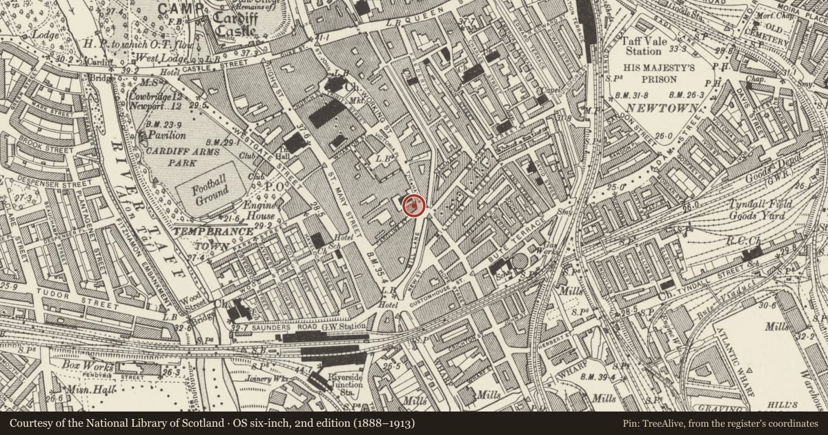
5 historical maps cover this location, the earliest the 1636 map "Cornubia : Devonia, Somersetus, Dorcestria, Wiltonia, Glocestria ..." (David Rumsey Map Collection, Stanford Libraries).
Historical maps covering this location
- 1636 · Cornubia : Devonia, Somersetus, Dorcestria, Wiltonia, Glocestria ... (David Rumsey Map Collection, Stanford Libraries)
- 1865 · England and Wales. England No. 6. (David Rumsey Map Collection, Stanford Libraries)
- 1895 · Sheet 11. Ordnance Survey of England and Wales. (David Rumsey Map Collection, Stanford Libraries)
- 1898 · 263 Cardiff (Hills) (David Rumsey Map Collection, Stanford Libraries)
- 1913 · Sheet 110. Cardiff & Mouth of the Severn. (David Rumsey Map Collection, Stanford Libraries)
Cadw's description
Location
To L (south) of Tabernacl Chapel.
History
Circa 1900; until recently the "Duke of Wellington" public house.
Exterior
Three storey public house; pressed red brick, slate roof. Seven window front to The Hayes, grouped into 3 bays, 3-2-3, and articulated by pilasters. Above cornice, to centre, aedicule with inscription "Duke of Wellington", pinnacle and flanking urns. Round-headed windows to top floor, camber-headed windows to first floor with sash glazing. On ground floor, 3 broad camber-headed windows with tall key stones rising to string course under first floor windows; 2 doorways with broken pediments. Similar splayed corner bay to L with doorway glazed in, and similar 2-window elevation to Caroline Street.
Reason for designation
Listed for group value with neighbouring listed buildings in The Hayes.
Nearby in the register
- Tabernacle Chapel including attached Hall and forecourt railingsReligious, Ritual and Funeraryunder 1 mi
- King's Cross Public HouseCommercialunder 1 mi
- 38 The HayesCommercialunder 1 mi
- 36 The HayesCommercialunder 1 mi
Other entries of the same register within about three miles of this one, by straight line.