Cof Cymru: National Historic Assets of Wales · Wales
36 The Hayes
Castle, Cardiff, Wales
A Grade II listed building in Castle, Cardiff, designated on 30 April 1999.
The record
- Designation
- Listed building, Grade II
- Broad class
- Commercial
- Date of designation
- 30 April 1999
- Community
- Castle
- Unitary authority
- Cardiff
- Country
- Wales
- Coordinates
- 51.47873, -3.17617
- Cadw reference
- 21707
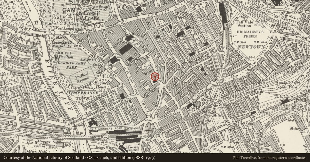
Slide toward Today to fade the historical sheet and see the modern map underneath.
David Rumsey Map Collection, Stanford LibrariesDavid Rumsey Map Collection, Stanford LibrariesDavid Rumsey Map Collection, Stanford LibrariesDavid Rumsey Map Collection, Stanford LibrariesDavid Rumsey Map Collection, Stanford Libraries
5 historical maps cover this location, the earliest the 1636 map "Cornubia : Devonia, Somersetus, Dorcestria, Wiltonia, Glocestria ..." (David Rumsey Map Collection, Stanford Libraries).
Historical maps covering this location
- 1636 · Cornubia : Devonia, Somersetus, Dorcestria, Wiltonia, Glocestria ... (David Rumsey Map Collection, Stanford Libraries)
- 1865 · England and Wales. England No. 6. (David Rumsey Map Collection, Stanford Libraries)
- 1895 · Sheet 11. Ordnance Survey of England and Wales. (David Rumsey Map Collection, Stanford Libraries)
- 1898 · 263 Cardiff (Hills) (David Rumsey Map Collection, Stanford Libraries)
- 1913 · Sheet 110. Cardiff & Mouth of the Severn. (David Rumsey Map Collection, Stanford Libraries)
Cadw's description
Location
Between entrance block of Royal Arcade, and Tabernacl Chapel.
History
Later C19 shop.
Exterior
Three storey, 2-window shop; stucco front with pilaster bands, slate roof. Four-pane sash windows; restored C19 style shopfront.
Reason for designation
Included for group value with adjacent listed buildings in the Hayes.
Nearby in the register
- 38 The HayesCommercialunder 1 mi
- Entrance block to Royal ArcadeCommercialunder 1 mi
- Tabernacle Chapel including attached Hall and forecourt railingsReligious, Ritual and Funeraryunder 1 mi
- David Morgan Department StoreCommercialunder 1 mi
Other entries of the same register within about three miles of this one, by straight line.