Cof Cymru: National Historic Assets of Wales · Wales
Glan yr Afon
Llangernyw, Conwy, Wales
A Grade II listed building in Llangernyw, Abergele, Conwy, designated on 17 March 1999.
The record
- Designation
- Listed building, Grade II
- Broad class
- Agriculture and Subsistence
- Date of designation
- 17 March 1999
- Locality
- Llangernyw
- Town
- Abergele
- Community
- Llangernyw
- Unitary authority
- Conwy
- Country
- Wales
- Coordinates
- 53.20879, -3.67925
- Cadw reference
- 21479
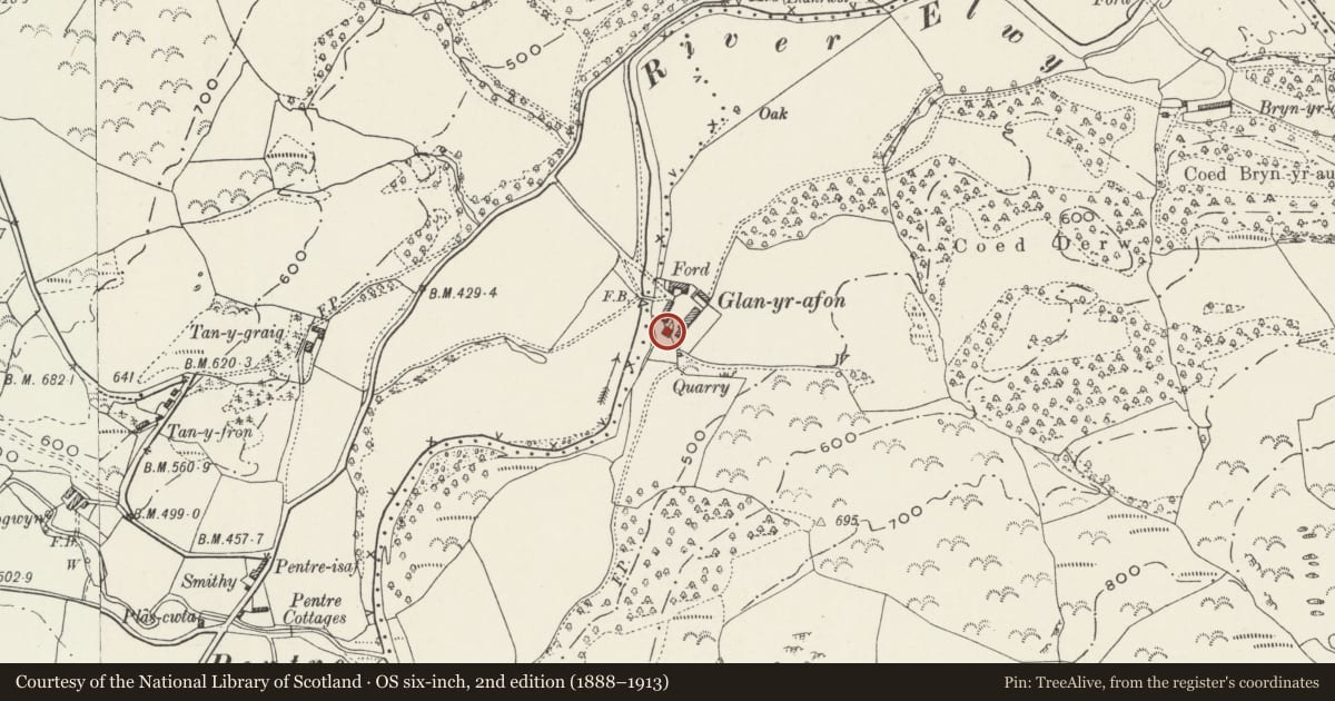
Slide toward Today to fade the historical sheet and see the modern map underneath.
David Rumsey Map Collection, Stanford LibrariesDavid Rumsey Map Collection, Stanford LibrariesLlyfrgell Genedlaethol Cymru – The National Library of WalesDavid Rumsey Map Collection, Stanford LibrariesDavid Rumsey Map Collection, Stanford Libraries
5 historical maps cover this location, the earliest the 1608 map "(13) Cambriae Typus." (David Rumsey Map Collection, Stanford Libraries).
Historical maps covering this location
- 1608 · (13) Cambriae Typus. (David Rumsey Map Collection, Stanford Libraries)
- 1795 · To Sir Watkin Williams-Wynn Bart ... the map of the six counties of North Wales is most… (Llyfrgell Genedlaethol Cymru – The National Library of Wales)
- 1830 · V.3:11-15:XV. Britisches Reich. A. Kon: England. b. Frstenthum Wales: Shire: 37-40 (David Rumsey Map Collection, Stanford Libraries)
- 1883 · Watershed map England, Wales 3. (David Rumsey Map Collection, Stanford Libraries)
- 1901 · Sheet 9 and 10. (David Rumsey Map Collection, Stanford Libraries)
Cadw's description
Location
Farmhouse situated at the SW side of the farmyard. Glan yr Afon is situated at the end of a farm road leading from the A548 approximately 2km NNE of Llangernyw village centre.
History
Probably built in mid C19. Present owner's family in occupation since 1872; farmhouse had one previous owner for whom it was built.
Exterior
Three-bay two storey T-shaped farmhouse. Built of painted roughcast rendered masonry, probably brick; three parallel Welsh slate gabled roofs with exposed rafters and purlin-ends to verges; brick ridge stacks with oversailing courses. Three gables to NE, facing yard; projecting centre bay narrower than two flanking. Fenestration symmetrical and regular with cambered arches; centre bay has one 6/6 boxed hornless sash window at ground and first floor. Flanking bays have C20 steel casement windows. Entrance doorway in W side of central bay.
Interior
Interior not accessible for inspection at time of resurvey.
Reason for designation
Included as an example of a mid C19 farmhouse which forms part of an intact farmstead group.
Nearby in the register
- Threshing Barn and two Sheds at Glan yr AfonAgriculture and Subsistenceunder 1 mi
- Stables and Cartshed at Glan yr AfonAgriculture and Subsistenceunder 1 mi
- Pigs Sties, Shelter Shed, Hay Loft, Shed and Stockyard Walls at Glan yr AfonAgriculture and Subsistenceunder 1 mi
- Hendre-Isaf Castle MoundMotteunder 1 mi
Other entries of the same register within about three miles of this one, by straight line.