Cof Cymru: National Historic Assets of Wales · Wales
Llys Alaw
Llangernyw, Conwy, Wales
A Grade II listed building in Llangernyw, Abergele, Conwy, designated on 17 March 1999.
The record
- Designation
- Listed building, Grade II
- Broad class
- Domestic
- Date of designation
- 17 March 1999
- Locality
- Llangernyw
- Town
- Abergele
- Community
- Llangernyw
- Unitary authority
- Conwy
- Country
- Wales
- Coordinates
- 53.19278, -3.68555
- Cadw reference
- 21477
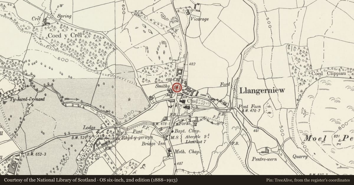
Slide toward Today to fade the historical sheet and see the modern map underneath.
David Rumsey Map Collection, Stanford LibrariesLlyfrgell Genedlaethol Cymru – The National Library of WalesDavid Rumsey Map Collection, Stanford LibrariesDavid Rumsey Map Collection, Stanford LibrariesDavid Rumsey Map Collection, Stanford Libraries
5 historical maps cover this location, the earliest the 1608 map "(13) Cambriae Typus." (David Rumsey Map Collection, Stanford Libraries).
Historical maps covering this location
- 1608 · (13) Cambriae Typus. (David Rumsey Map Collection, Stanford Libraries)
- 1795 · To Sir Watkin Williams-Wynn Bart ... the map of the six counties of North Wales is most… (Llyfrgell Genedlaethol Cymru – The National Library of Wales)
- 1830 · V.3:11-15:XV. Britisches Reich. A. Kon: England. b. Frstenthum Wales: Shire: 37-40 (David Rumsey Map Collection, Stanford Libraries)
- 1883 · Watershed map England, Wales 3. (David Rumsey Map Collection, Stanford Libraries)
- 1901 · Sheet 9 and 10. (David Rumsey Map Collection, Stanford Libraries)
Cadw's description
Location
The house stands on the W side of the A548, approximately 50m N of the centre of Llangernyw village.
History
Dated 1780. Roof coverings chimney stacks and porch probably C19 and sash windows probably C20 replacements.
Exterior
Double fronted, double depth late-Georgian village house, L-shaped on plan. Built of painted roughcast masonry with Welsh slate gabled roofs and plain timber fascia and barge boards; red brick gable chimney stacks with brick oversailing courses. Symmetrical front elevation, facing E, has central boarded door within slate roofed gabled porch with plain timber fascias and barge boards and rough cast rendered walls, flanked by 8/8 double hung sash windows. Datestone above apex of porch roof bears incised inscription: 1780. Rear elevation and wing to W has similar roof and window details.
Interior
Interior not accessible for inspection at time of resurvey.
Reason for designation
Included as C18 house in prominent location in village centre and for group value with neighbouring listed buildings.
Nearby in the register
- General StoreCommercialunder 1 mi
- Lychgate to Church of St DigainReligious, Ritual and Funeraryunder 1 mi
- Siop UchaCommercialunder 1 mi
- Ivy CottageDomesticunder 1 mi
Other entries of the same register within about three miles of this one, by straight line.