Cof Cymru: National Historic Assets of Wales · Wales
Ivy Cottage
Llangernyw, Conwy, Wales
A Grade II listed building in Llangernyw, Abergele, Conwy, designated on 17 March 1999.
The record
- Designation
- Listed building, Grade II
- Broad class
- Domestic
- Date of designation
- 17 March 1999
- Locality
- Llangernyw
- Town
- Abergele
- Community
- Llangernyw
- Unitary authority
- Conwy
- Country
- Wales
- Coordinates
- 53.19220, -3.68590
- Cadw reference
- 21474
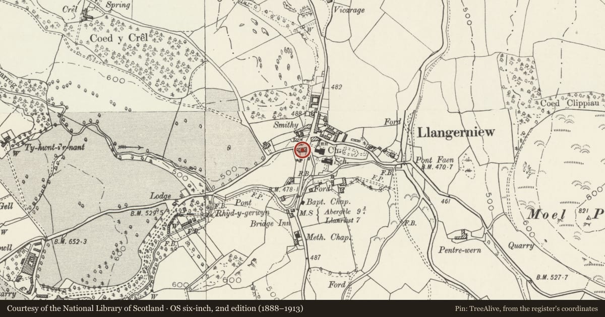
Slide toward Today to fade the historical sheet and see the modern map underneath.
David Rumsey Map Collection, Stanford LibrariesLlyfrgell Genedlaethol Cymru – The National Library of WalesDavid Rumsey Map Collection, Stanford LibrariesDavid Rumsey Map Collection, Stanford LibrariesDavid Rumsey Map Collection, Stanford Libraries
5 historical maps cover this location, the earliest the 1608 map "(13) Cambriae Typus." (David Rumsey Map Collection, Stanford Libraries).
Historical maps covering this location
- 1608 · (13) Cambriae Typus. (David Rumsey Map Collection, Stanford Libraries)
- 1795 · To Sir Watkin Williams-Wynn Bart ... the map of the six counties of North Wales is most… (Llyfrgell Genedlaethol Cymru – The National Library of Wales)
- 1830 · V.3:11-15:XV. Britisches Reich. A. Kon: England. b. Frstenthum Wales: Shire: 37-40 (David Rumsey Map Collection, Stanford Libraries)
- 1883 · Watershed map England, Wales 3. (David Rumsey Map Collection, Stanford Libraries)
- 1901 · Sheet 9 and 10. (David Rumsey Map Collection, Stanford Libraries)
Cadw's description
Location
In the centre of Llangernyw on the S side of the minor road leading W from the village.
History
Probably built in the early C19, the building appears on the 1840 Tithe Map in the ownership of Samuel Sandbach of Hafodunos.
Exterior
Mid-terrace two storey vernacular cottage. Front elevation facing N. One bay of 8/12 cast iron windows with fine glazing bars and centre-pivoted top lights. Part glazed modern front door. Bracketed timber canopy with gable truss and slate roof above doorway.
Interior
Interior not accessible for inspection at time of resurvey.
Reason for designation
Included as part of a row of C19 estate owned cottages retaining architectural integrity, with features of architectural and historic interest, occupying a prominent location in the village centre, and for group value with St Digain's church and Lychgate.
Nearby in the register
- Pen Uchar LlanDomesticunder 1 mi
- Siop UchaCommercialunder 1 mi
- Lychgate to Church of St DigainReligious, Ritual and Funeraryunder 1 mi
- Raised Slab Monument to Harry Lloyd in churchyard of Church of St DigainMiscellaneousunder 1 mi
Other entries of the same register within about three miles of this one, by straight line.