Cof Cymru: National Historic Assets of Wales · Wales
Ashford Tunnel S Portal (Monmouthshire and Brecon Canal)
Talybont-on-Usk, Powys, Wales
A Grade II listed building in Llanddetti, Talybont-on-Usk, Powys, designated on 17 December 1998.
The record
- Designation
- Listed building, Grade II
- Broad class
- Transport
- Date of designation
- 17 December 1998
- Locality
- Llanddetti
- Community
- Talybont-on-Usk
- Unitary authority
- Powys
- Country
- Wales
- Coordinates
- 51.88469, -3.27408
- Cadw reference
- 21114
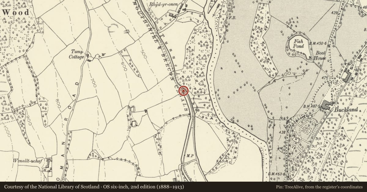
Slide toward Today to fade the historical sheet and see the modern map underneath.
David Rumsey Map Collection, Stanford LibrariesDavid Rumsey Map Collection, Stanford LibrariesDavid Rumsey Map Collection, Stanford LibrariesDavid Rumsey Map Collection, Stanford LibrariesDavid Rumsey Map Collection, Stanford Libraries
5 historical maps cover this location, the earliest the 1636 map "Cornubia : Devonia, Somersetus, Dorcestria, Wiltonia, Glocestria ..." (David Rumsey Map Collection, Stanford Libraries).
Historical maps covering this location
- 1636 · Cornubia : Devonia, Somersetus, Dorcestria, Wiltonia, Glocestria ... (David Rumsey Map Collection, Stanford Libraries)
- 1856 · 42. Brecon. (David Rumsey Map Collection, Stanford Libraries)
- 1895 · Sheet 11. Ordnance Survey of England and Wales. (David Rumsey Map Collection, Stanford Libraries)
- 1896 · 214 Talgarth (Hills) (David Rumsey Map Collection, Stanford Libraries)
- 1901 · Sheet 14. (David Rumsey Map Collection, Stanford Libraries)
Cadw's description
Location
Adjacent to the B4558, NE of Ashford Cottage.
History
Tunnel is 375yds (343m) long and is the only tunnel on the canal. The Brecknock and Abergavenny Canal was promoted in 1792 to connect the upper Usk valley with the Monmouthshire Canal at Pontymoile and from there to the sea at Newport. First section, between Gilwern and Talybont, was cut between 1797 and 1799, with upper section between Talybont and Brecon opened in 1800, both sections engineered by Thomas Dadford. Lower section between Gilwern and Pontymoile completed 1812 and engineered by William Crosley. Linked to tramroads, the canal was an important artery for trade in iron, lime and coal. In 1865 the Brecknock and Abergavenny and the Monmouthshire Canals merged to become the Monmouthshire and Brecon Canal, which was later incorporated into the Great Western Railway. Last toll was taken in 1933. Restoration of canal began 1964. Tunnel was re-opened after repair 1985.
Exterior
Small round arched portal of rubble sandstone with deep voussoirs and keystone, end piers, flat coping, no parapet. The canal narrows to single barge width at entrance. No towpath in tunnel, the boats were shafted through; path continues along top.
Reason for designation
Listed for the special interest of the Ashford Tunnel as one of the original engineered structures on the Brecknock and Abergavenny Canal.
Group value with Ashford and Ashford Cottage.
Nearby in the register
- Ashford CottageDomesticunder 1 mi
- Ashford tunnel N Portal (Monmouthshire and Brecon Canal)Transportunder 1 mi
- Wenallt Upper Bridge (Canal Bridge No.141)Transportunder 1 mi
- AshfordDomesticunder 1 mi
Other entries of the same register within about three miles of this one, by straight line.