Cof Cymru: National Historic Assets of Wales · Wales
Pair of Parry family tombs in churchyard of St Cenau, Llangenny
The Vale of Grwyney, Powys, Wales
A Grade II listed building in Llangenny, The Vale of Grwyney, Powys, designated on 19 November 1998.
The record
- Designation
- Listed building, Grade II
- Broad class
- Religious, Ritual and Funerary
- Date of designation
- 19 November 1998
- Locality
- Llangenny
- Community
- The Vale of Grwyney
- Unitary authority
- Powys
- Country
- Wales
- Coordinates
- 51.85657, -3.10463
- Cadw reference
- 20838
Slide toward Today to fade the historical sheet and see the modern map underneath.
David Rumsey Map Collection, Stanford LibrariesDavid Rumsey Map Collection, Stanford LibrariesDavid Rumsey Map Collection, Stanford LibrariesDavid Rumsey Map Collection, Stanford LibrariesDavid Rumsey Map Collection, Stanford Libraries
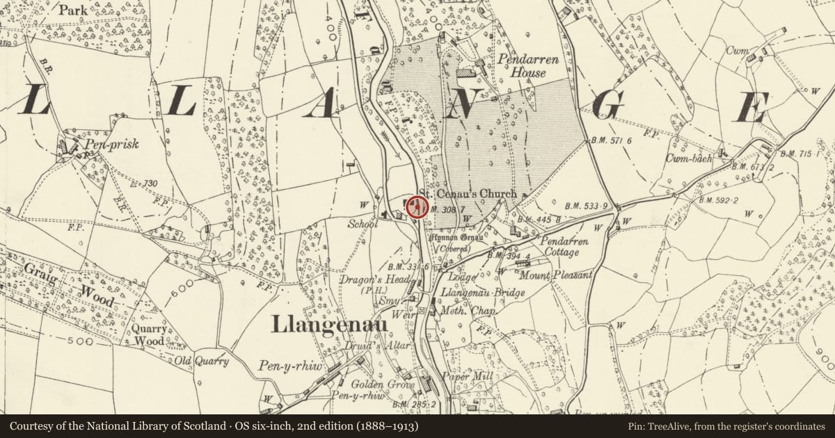
5 historical maps cover this location, the earliest the 1636 map "Cornubia : Devonia, Somersetus, Dorcestria, Wiltonia, Glocestria ..." (David Rumsey Map Collection, Stanford Libraries).
Historical maps covering this location
- 1636 · Cornubia : Devonia, Somersetus, Dorcestria, Wiltonia, Glocestria ... (David Rumsey Map Collection, Stanford Libraries)
- 1856 · 42. Brecon. (David Rumsey Map Collection, Stanford Libraries)
- 1898 · 232 Abergavenny (Hills) (David Rumsey Map Collection, Stanford Libraries)
- 1898 · 232 Abergavenny (Outline) (David Rumsey Map Collection, Stanford Libraries)
- 1901 · Sheet 14. (David Rumsey Map Collection, Stanford Libraries)
Cadw's description
Location
On the S side of the church.
History
The southern tomb is early C19 and made by John Pritchard of Clydach (engraved on base). The northern tomb is mid C19 and commemorates sons of William and Sarah Parry of Glangrwyne, owners of a paper mill there.
Exterior
The southern tomb is a table tomb with fluted angle pilasters flanking engraved tablets, and with saddleback capstone. On its N side is a commemorative inscription to Walter Parry (d. 1824), on its S side is an added inscription to Magdalen Parry (d.1844) and on its W side is an added insciption to Walter Davies (d.1825).
The northern tomb is a stone tomb chest on squat splayed legs. The sides are splayed outwards to a saddleback capstone. On the N side is a commemorative inscription to John Lewis Parry (d. 1856), on the shorter W side to Walter Thomas Parry (d. 1838).
Reason for designation
Included for group value with the church and other associated listed items.
Nearby in the register
- Sundial in churchyard of St Cenau, LlangennyMiscellaneousunder 1 mi
- 1 Church CottagesDomesticunder 1 mi
- Lych Gate at church of St Cenau, LlangennyReligious, Ritual and Funeraryunder 1 mi
- 2 Church CottagesDomesticunder 1 mi
Other entries of the same register within about three miles of this one, by straight line.