Cof Cymru: National Historic Assets of Wales · Wales
Lych Gate at church of St Cenau, Llangenny
The Vale of Grwyney, Powys, Wales
A Grade II listed building in Llangenny, The Vale of Grwyney, Powys, designated on 19 November 1998.
The record
- Designation
- Listed building, Grade II
- Broad class
- Religious, Ritual and Funerary
- Date of designation
- 19 November 1998
- Locality
- Llangenny
- Community
- The Vale of Grwyney
- Unitary authority
- Powys
- Country
- Wales
- Coordinates
- 51.85648, -3.10477
- Cadw reference
- 20830
Slide toward Today to fade the historical sheet and see the modern map underneath.
David Rumsey Map Collection, Stanford LibrariesDavid Rumsey Map Collection, Stanford LibrariesDavid Rumsey Map Collection, Stanford LibrariesDavid Rumsey Map Collection, Stanford LibrariesDavid Rumsey Map Collection, Stanford Libraries
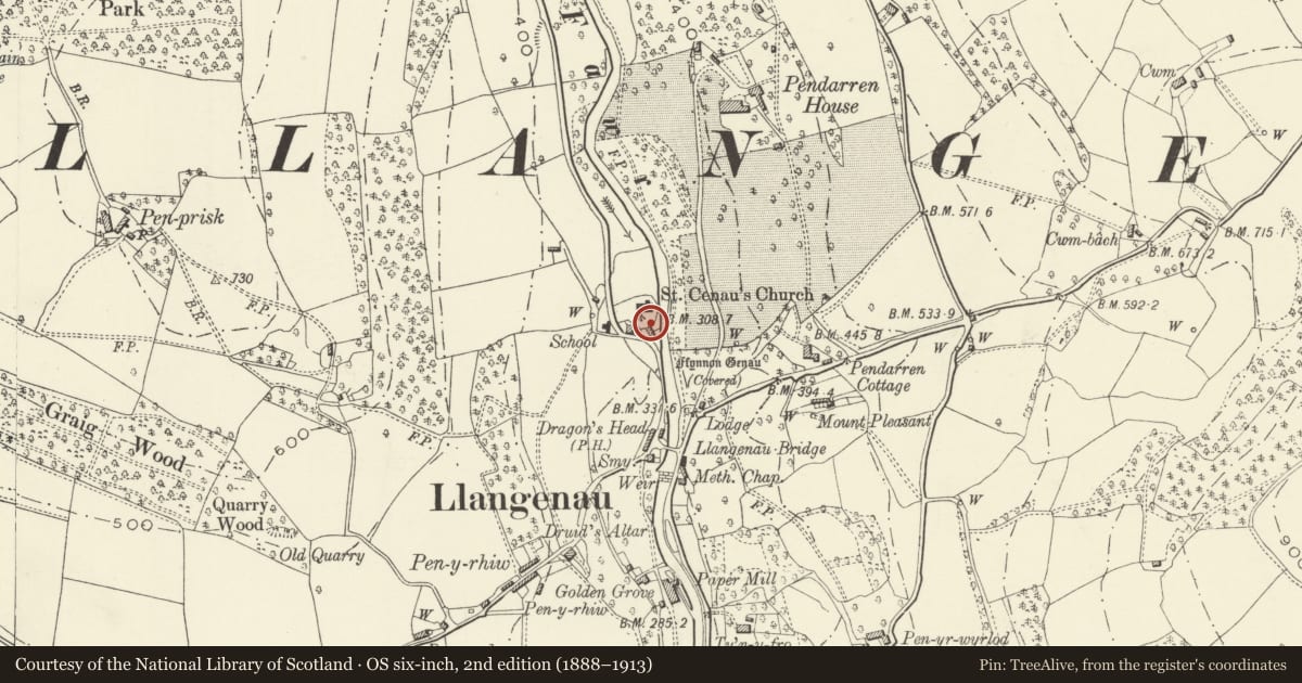
5 historical maps cover this location, the earliest the 1636 map "Cornubia : Devonia, Somersetus, Dorcestria, Wiltonia, Glocestria ..." (David Rumsey Map Collection, Stanford Libraries).
Historical maps covering this location
- 1636 · Cornubia : Devonia, Somersetus, Dorcestria, Wiltonia, Glocestria ... (David Rumsey Map Collection, Stanford Libraries)
- 1856 · 42. Brecon. (David Rumsey Map Collection, Stanford Libraries)
- 1898 · 232 Abergavenny (Hills) (David Rumsey Map Collection, Stanford Libraries)
- 1898 · 232 Abergavenny (Outline) (David Rumsey Map Collection, Stanford Libraries)
- 1901 · Sheet 14. (David Rumsey Map Collection, Stanford Libraries)
Cadw's description
Location
On S side of churchyard facing the road.
History
A lych gate was erected here in 1639 (date on tie beam) although current structure appears to belong to restoration in 1863 by Charles Buckeridge.
Exterior
Walls of coursed rubble (integral with churchyard walls) and stone tile roof. A tie beam on N side is engraved "At the Ch of IAMO 1639" in uneven letters, probably copied from a tie beam on the earlier lych gate. Three-bay roof consisting of stop-chamfered tie beams with cusped raking struts. The central truss is carried on plain wall shafts, between which are wooden gates with cast iron fleur-de-lys finials. On S side of gates the walls have stone benches.
Reason for designation
Included for group value with St Cenau's church and associated listed items.
Nearby in the register
- 1 Church CottagesDomesticunder 1 mi
- 2 Church CottagesDomesticunder 1 mi
- Pair of Parry family tombs in churchyard of St Cenau, LlangennyReligious, Ritual and Funeraryunder 1 mi
- Llangenny SchoolEducationunder 1 mi
Other entries of the same register within about three miles of this one, by straight line.