Cof Cymru: National Historic Assets of Wales · Wales
Tomb of Martyn Roberts in churchyard of St Cenau, Llangenny
The Vale of Grwyney, Powys, Wales
A Grade II listed building in Llangenny, The Vale of Grwyney, Powys, designated on 19 November 1998.
The record
- Designation
- Listed building, Grade II
- Broad class
- Religious, Ritual and Funerary
- Date of designation
- 19 November 1998
- Locality
- Llangenny
- Community
- The Vale of Grwyney
- Unitary authority
- Powys
- Country
- Wales
- Coordinates
- 51.85684, -3.10458
- Cadw reference
- 20837
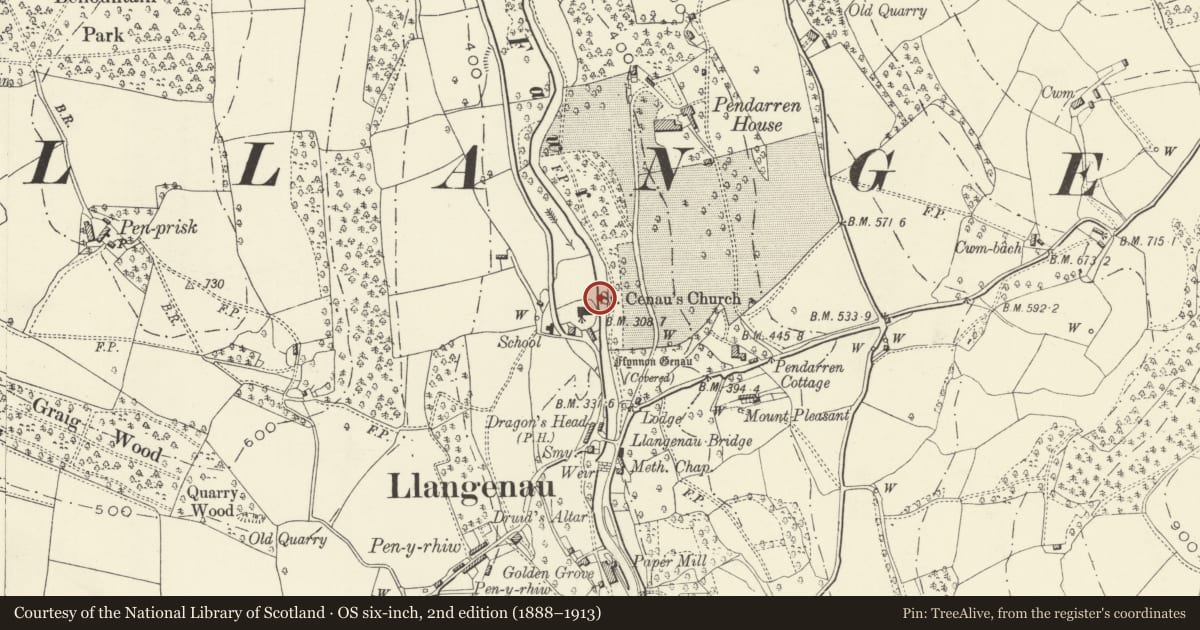
Slide toward Today to fade the historical sheet and see the modern map underneath.
David Rumsey Map Collection, Stanford LibrariesDavid Rumsey Map Collection, Stanford LibrariesDavid Rumsey Map Collection, Stanford LibrariesDavid Rumsey Map Collection, Stanford LibrariesDavid Rumsey Map Collection, Stanford Libraries
5 historical maps cover this location, the earliest the 1636 map "Cornubia : Devonia, Somersetus, Dorcestria, Wiltonia, Glocestria ..." (David Rumsey Map Collection, Stanford Libraries).
Historical maps covering this location
- 1636 · Cornubia : Devonia, Somersetus, Dorcestria, Wiltonia, Glocestria ... (David Rumsey Map Collection, Stanford Libraries)
- 1856 · 42. Brecon. (David Rumsey Map Collection, Stanford Libraries)
- 1898 · 232 Abergavenny (Hills) (David Rumsey Map Collection, Stanford Libraries)
- 1898 · 232 Abergavenny (Outline) (David Rumsey Map Collection, Stanford Libraries)
- 1901 · Sheet 14. (David Rumsey Map Collection, Stanford Libraries)
Cadw's description
Location
On NE side of chancel.
History
Tomb of Martyn Roberts (1806-1878) of Pendarren, who rebuilt Pendarren House in the 1860s and sold the Pendarren Estate to Andrew Doyle in 1876.
Exterior
Obelisk-type memorial set within a square enclosure defined by a stone kerb. Above a stepped stone plinth is a square base. The narrow obelisk tapers and has a pyramidal top. The obelisk is set onto a stone cube and stepped plinth. All carry engraved texts from the New Testament, and the shaft has scattered geometrical and floral patterns. Further inscriptions commemorate Roberts and his son Martyn Yalden Roberts (1846-1855).
Reason for designation
Included for group value with the church, sun dial and other listed tombs in church yard.
Nearby in the register
- Church of St Cenau, LlangennyReligious, Ritual and Funeraryunder 1 mi
- Sundial in churchyard of St Cenau, LlangennyMiscellaneousunder 1 mi
- Pair of Parry family tombs in churchyard of St Cenau, LlangennyReligious, Ritual and Funeraryunder 1 mi
- 1 Church CottagesDomesticunder 1 mi
Other entries of the same register within about three miles of this one, by straight line.