Cof Cymru: National Historic Assets of Wales · Wales
Churchyard Cross to the south of Parish Church of St Peter
Abergavenny, Monmouthshire, Wales
A Grade II listed building in Llanwenarth, Abergavenny, Monmouthshire, designated on 9 January 1956.
The record
- Designation
- Listed building, Grade II
- Broad class
- Religious, Ritual and Funerary
- Date of designation
- 9 January 1956
- Locality
- Llanwenarth
- Community
- Abergavenny
- Unitary authority
- Monmouthshire
- Country
- Wales
- Coordinates
- 51.82706, -3.05244
- Cadw reference
- 1981
Slide toward Today to fade the historical sheet and see the modern map underneath.
David Rumsey Map Collection, Stanford LibrariesDavid Rumsey Map Collection, Stanford LibrariesDavid Rumsey Map Collection, Stanford LibrariesDavid Rumsey Map Collection, Stanford LibrariesDavid Rumsey Map Collection, Stanford Libraries
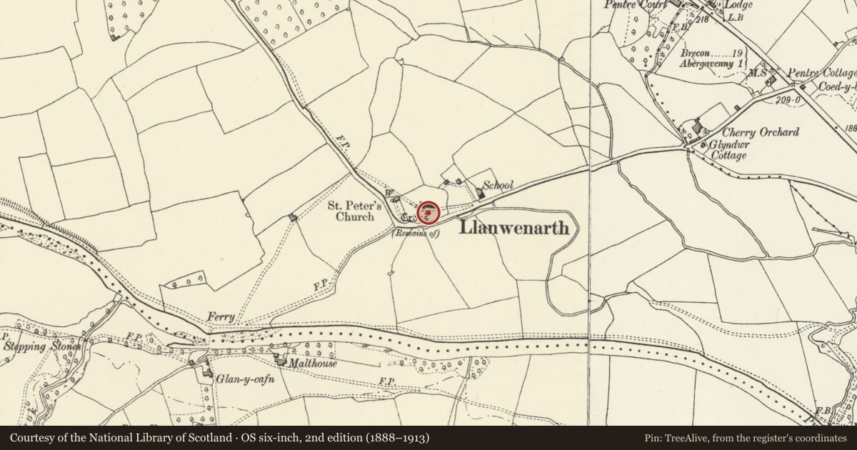
5 historical maps cover this location, the earliest the 1636 map "Cornubia : Devonia, Somersetus, Dorcestria, Wiltonia, Glocestria ..." (David Rumsey Map Collection, Stanford Libraries).
Historical maps covering this location
- 1636 · Cornubia : Devonia, Somersetus, Dorcestria, Wiltonia, Glocestria ... (David Rumsey Map Collection, Stanford Libraries)
- 1856 · 42. Brecon. (David Rumsey Map Collection, Stanford Libraries)
- 1898 · 232 Abergavenny (Hills) (David Rumsey Map Collection, Stanford Libraries)
- 1898 · 232 Abergavenny (Outline) (David Rumsey Map Collection, Stanford Libraries)
- 1901 · Sheet 14. (David Rumsey Map Collection, Stanford Libraries)
Cadw's description
Location
Situated in the churchyard close to the south porch of the church.
Exterior
Origins as a medieval (probably C14) churchyard cross, similar in design to that at Parish Church of St Faith, Llanfoist; largely rebuilt as a War Memorial.
Tall chamfered shaft with Celtic cross to top. At the foot it has broach stops and sits on a square base with cushioned labels. The whole is carried on a four-stepped base.
Included for group value with Parish Church of St Peter.
Nearby in the register
- Llanwenarth Churchyard Cross-BaseCrossunder 1 mi
- Parish Church of St PeterReligious, Ritual and Funeraryunder 1 mi
- Pentre CourtDomesticunder 1 mi
- Former Coach-House and Stables at Pentre CourtDomesticunder 1 mi
Other entries of the same register within about three miles of this one, by straight line.