Cof Cymru: National Historic Assets of Wales · Wales
Carthouse at Hafod y Maidd
Cerrigydrudion, Conwy, Wales
A Grade II listed building in Glasfryn, Cerrigydrudion, Conwy, designated on 17 February 1998.
The record
- Designation
- Listed building, Grade II
- Broad class
- Agriculture and Subsistence
- Date of designation
- 17 February 1998
- Locality
- Glasfryn
- Town
- Cerrigydrudion
- Community
- Cerrigydrudion
- Unitary authority
- Conwy
- Country
- Wales
- Coordinates
- 53.04148, -3.61173
- Cadw reference
- 19355
Slide toward Today to fade the historical sheet and see the modern map underneath.
David Rumsey Map Collection, Stanford LibrariesDavid Rumsey Map Collection, Stanford LibrariesLlyfrgell Genedlaethol Cymru – The National Library of WalesDavid Rumsey Map Collection, Stanford LibrariesDavid Rumsey Map Collection, Stanford Libraries
5 historical maps cover this location, the earliest the 1795 map "To Sir Watkin Williams-Wynn Bart ... the map of the six counties of North Wales is most humbly inscribed by his obedient humble servant" (Llyfrgell Genedlaethol Cymru – The National Library of Wales).
Historical maps covering this location
- 1795 · To Sir Watkin Williams-Wynn Bart ... the map of the six counties of North Wales is most… (Llyfrgell Genedlaethol Cymru – The National Library of Wales)
- 1830 · V.3:11-15:XV. Britisches Reich. A. Kon: England. b. Frstenthum Wales: Shire: 37-40 (David Rumsey Map Collection, Stanford Libraries)
- 1883 · Watershed map England, Wales 3. (David Rumsey Map Collection, Stanford Libraries)
- 1898 · 120 Corwen (Hills) (David Rumsey Map Collection, Stanford Libraries)
- 1901 · Sheet 9 and 10. (David Rumsey Map Collection, Stanford Libraries)
Cadw's description
Location
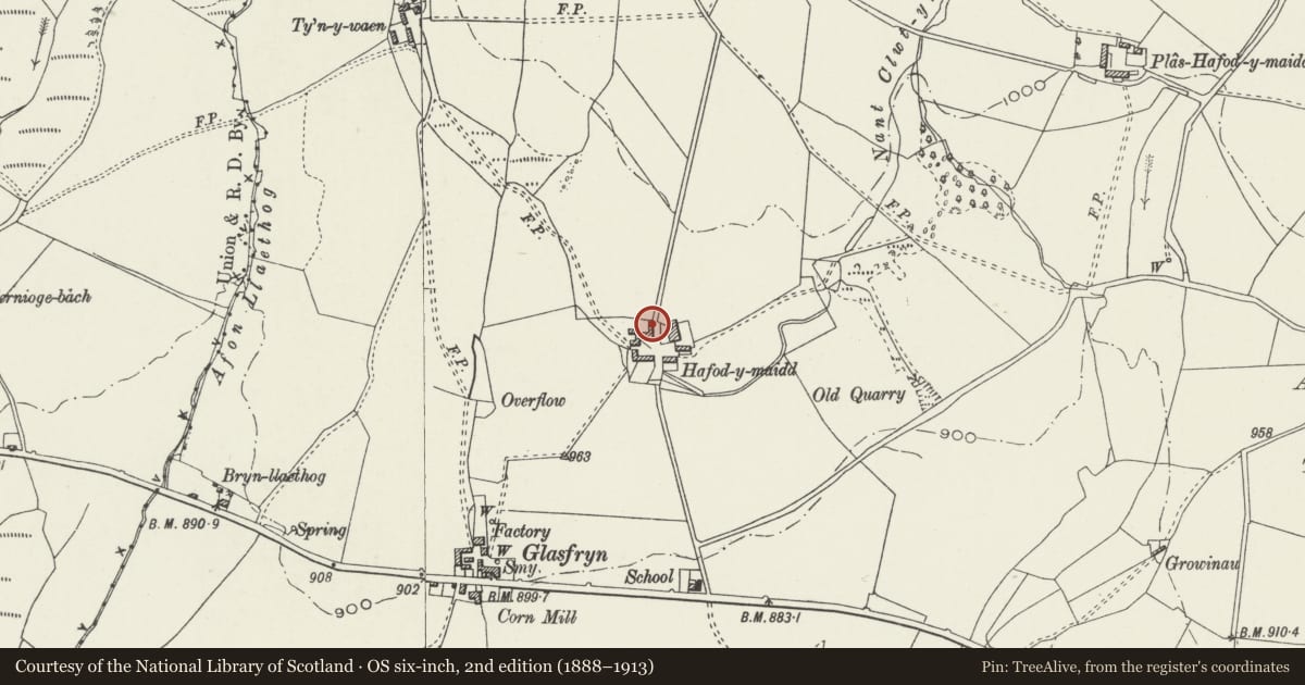
Hafod y Maidd farm is located approximately 400m due N of Glasfryn. The carthouse stands at right angles, to the N of the earlier farmbuildings around the yard, and faces E over the driftway to the fields further to the N.
History
The carthouse was built in the mid-late C19 to accommodate the increasing number of farm vehicles then employed.
Exterior
Built of well laid stone rubble with large quoins. Slate roof. Four square openings to the E, each with a monolithic slate lintel, and above each, a ventilation window with slats in the lower part, and glazing above. The upper floor, probably for the storage of hay and fodder, is accessed by an external stone stair at the S end, attached to the rear of the major farm building.
Reason for designation
Included as a handsome C19 farm building illustrative of changing farming practice of the time, and one of a group of fine and well preserved farm buildings at Hafod y Maidd.
Nearby in the register
- Barn and Carthouse opposite Hafod y Maidd including attached pigstiesAgriculture and Subsistenceunder 1 mi
- Cowhouse, Yards and Stable at Hafod y MaiddAgriculture and Subsistenceunder 1 mi
- Hafod y Maidd Farmhouse including attached farm building at the W endDomesticunder 1 mi
- Cernioge Farmhouse (Cerniogau-mawr)Domesticunder 1 mi
Other entries of the same register within about three miles of this one, by straight line.