Cof Cymru: National Historic Assets of Wales · Wales
Garden Walls, Terraces and Gatepiers at Llanvihangel Court
Crucorney, Monmouthshire, Wales
A Grade II listed building in Llanvihangel Crucorney, Abergavenny, Crucorney, Monmouthshire, designated on 29 January 1998.
The record
- Designation
- Listed building, Grade II
- Broad class
- Domestic
- Date of designation
- 29 January 1998
- Locality
- Llanvihangel Crucorney
- Town
- Abergavenny
- Community
- Crucorney
- Unitary authority
- Monmouthshire
- Country
- Wales
- Coordinates
- 51.87835, -2.97775
- Cadw reference
- 19289
Slide toward Today to fade the historical sheet and see the modern map underneath.
David Rumsey Map Collection, Stanford LibrariesDavid Rumsey Map Collection, Stanford LibrariesDavid Rumsey Map Collection, Stanford LibrariesDavid Rumsey Map Collection, Stanford LibrariesDavid Rumsey Map Collection, Stanford Libraries
5 historical maps cover this location, the earliest the 1608 map "(13) Cambriae Typus." (David Rumsey Map Collection, Stanford Libraries).
Historical maps covering this location
- 1608 · (13) Cambriae Typus. (David Rumsey Map Collection, Stanford Libraries)
- 1636 · Cornubia : Devonia, Somersetus, Dorcestria, Wiltonia, Glocestria ... (David Rumsey Map Collection, Stanford Libraries)
- 1830 · V.3:11-15:XV.Britisches Reich. A. Kon: England. a. England ab sich: Shire:15-17, 33 (David Rumsey Map Collection, Stanford Libraries)
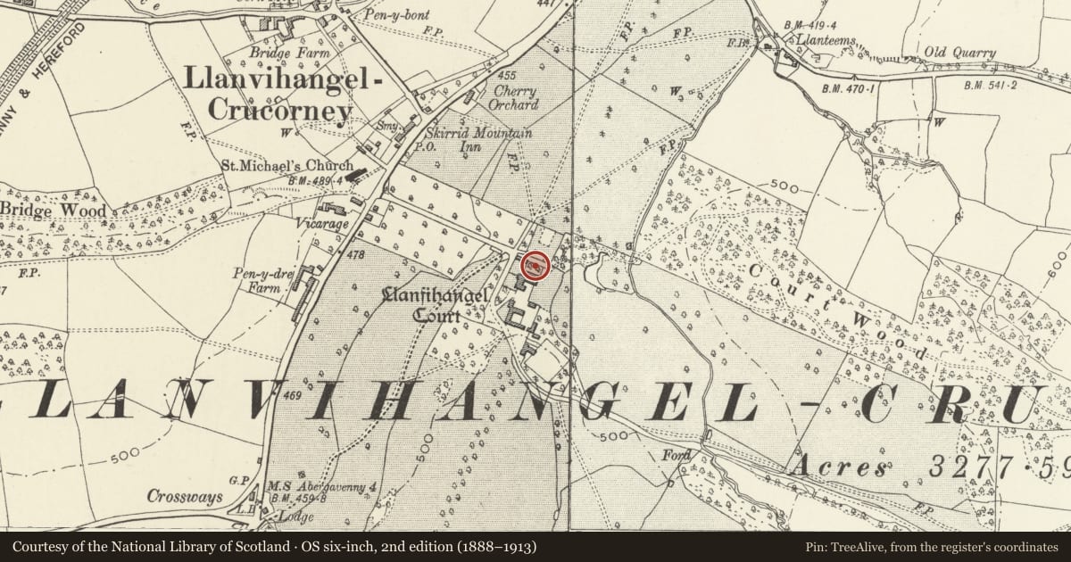
- 1895 · Sheet 11. Ordnance Survey of England and Wales. (David Rumsey Map Collection, Stanford Libraries)
- 1901 · Sheet 14. (David Rumsey Map Collection, Stanford Libraries)
Cadw's description
Location
In front of the north-east entrance front of Llanvihangel Court.
History
These are all part of an early C17 formal garden lay-out but have had much rebuilding and repair during the C20. Their appearance in the C17, largely the same as now, is recorded in the c1680 painting in the house. The 1881 survey suggests that most of the paving was re-laid at that time.
Exterior
Rubble and cut stone with dry stone walls. Three levels of terrace with returning walls and central staircase with a semi-circular flight at the bottom and two straight flights, retaining walls with coping and ball finials. Secondary gatepiers and timber lattice gates at bottom to left. Walling in stone and brick to the Wilderness. Impressive retaining wall with two buttresses along the road. The Coach House (qv) is attached to one corner of the terracing.
Reason for designation
Included as relics of a formal garden of the early C17 which have strong group value with all the historic buildings at Llanvihangel Court.
Nearby in the register
- Llanvihangel CourtDomesticunder 1 mi
- Coach House at Llanvihangel CourtDomesticunder 1 mi
- Stable Block at Llanvihangel CourtDomesticunder 1 mi
- Barn at Llanvihangel CourtAgriculture and Subsistenceunder 1 mi
Other entries of the same register within about three miles of this one, by straight line.